Medium airport · Australia
Dysart AirportYDYS
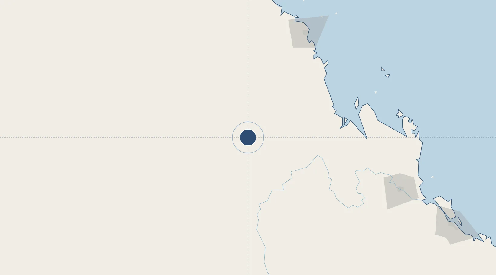
-22.6222°, 148.3640°
5,085 ft
Longest runway
1
Runways
670 ft
Elevation
Runway & Layout

Radio Frequencies
CTAF
126.7 MHz
FSS
128.55 MHz
BRISBANE CNTR
Navaids
DYS NDB Dysart 227 kHz
Runways · 1
| Runway | Dimensions | Surface | True heading | Lit |
|---|---|---|---|---|
| 14/32 | 5,085 × 98ft | Asphalt | 146° | ✓ |
Airport Specifications
IATA code
DYA
ICAO code
YDYS
Airport class
Medium airport
Scheduled service
No
Runway surface
Asphalt
Location
Nearby Logistics Neighbours
Airports
- 1Moranbah Airport69 km
- 2Clermont Airport78 km
- 3Emerald Airport107 km
- 4Blackwater Airport118 km
- 5Mackay Airport182 km
Cities
- 1Pleystowe177 km
- 2Mackay181 km
- 3Gracemere232 km
- 4Rosslyn Bay255 km
- 5Red Hill257 km
Ports
- 1Hay Point177 km
- 2Mackay189 km
- 3Port Alma276 km
- 4Gladstone325 km
- 5Townsville406 km
Trade Zones
DatabookThe Record of Consolidated Knowledge
Australia beyond logistics?