Medium airport · Australia

Clermont AirportYCMT
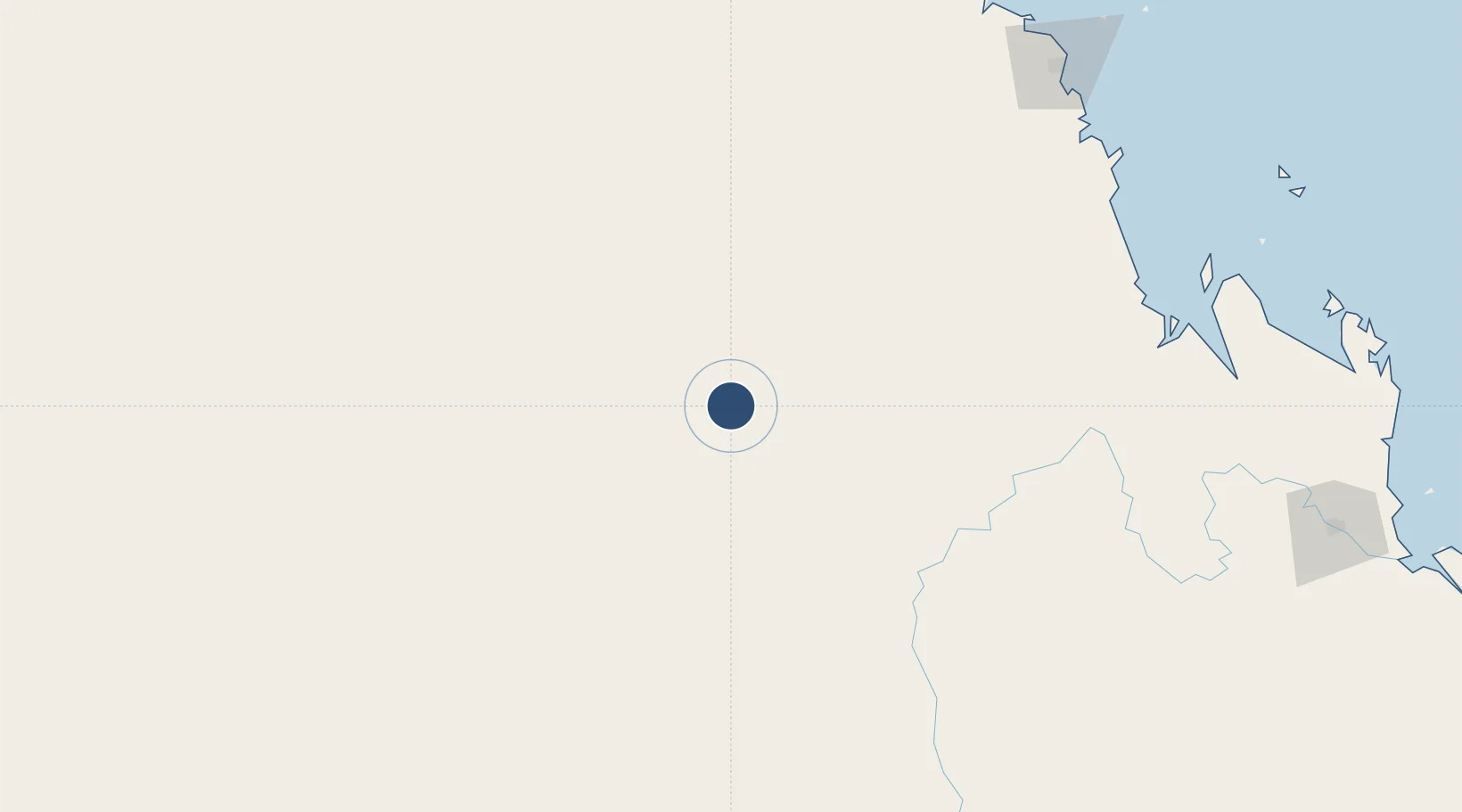
-22.7731°, 147.6210°
4,301 ft
Longest runway
2
Runways
908 ft
Elevation

Runway & Layout

Clermont Airport runway & taxiway layout
Runway & taxiway layout — OpenStreetMap (ODbL) / OurAirports

Radio Frequencies

CTAF
126.7 MHz
FSS
122.3 MHz
BRISBANE CNTR
OurAirports

Navaids

CMT NDB Clermont 209 kHz
OurAirports

Runways · 2

RunwayDimensions SurfaceTrue headingLit
15/33 4,301 × 98ft Asphalt 160°
01/19 3,504 × 98ft Gravel 027°
OurAirports

Airport Specifications

IATA code
CMQ
OurAirports
ICAO code
YCMT
OurAirports
Airport class
Medium airport
OurAirports
Scheduled service
No
OurAirports
Runway surface
Asphalt
OurAirports

Location

Location of YCMT
Natural Earth 10m (public domain) · Queensland · YCMT · -22.77, 147.62GoogleOSMYandex

Nearby Logistics Neighbours

Airports
  1. 1Dysart Airport78 km
  2. 2Moranbah Airport92 km
  3. 3Emerald Airport105 km
  4. 4Blackwater Airport152 km
  5. 5Mackay Airport240 km
Nearest neighbours — logibook spatial index (haversine) over the source coordinates
Cities
  1. 1Pleystowe231 km
  2. 2Mackay238 km
  3. 3Red Hill288 km
  4. 4Gracemere299 km
  5. 5Abell Point301 km
Nearest neighbours — logibook spatial index (haversine) over the source coordinates
Ports
  1. 1Hay Point240 km
  2. 2Mackay247 km
  3. 3Port Alma342 km
  4. 4Gladstone389 km
  5. 5Townsville399 km
Nearest neighbours — logibook spatial index (haversine) over the source coordinates
Trade Zones
  1. 1Paga Hill Estate Special Economic Zone1479 km
  2. 2Ihu Special Economic Zone1671 km
  3. 3Latrobe Valley Economic Growth Zone1723 km
  4. 4Ledger Atlas Special Economic Zone1799 km
  5. 5Nadzab (Momase) Special Economic Zone1801 km
Nearest neighbours — logibook spatial index (haversine) over the source coordinates
DatabookThe Record of Consolidated Knowledge
Australia beyond logistics?
Browse databook

All Sources

AirportsOurAirports
Public domain
Portsthe NGA World Port Index
Public domain (US gov)
LocationsUN/LOCODE
UN/LOCODE — free
Trade Zonesthe World Bank SEZ database
CC BY 4.0
Trade ZonesOpen Zone Map
CC BY
InfrastructureOpenStreetMap
ODbL 1.0
← Australia airports