Medium airport · Australia
Emerald AirportYEML
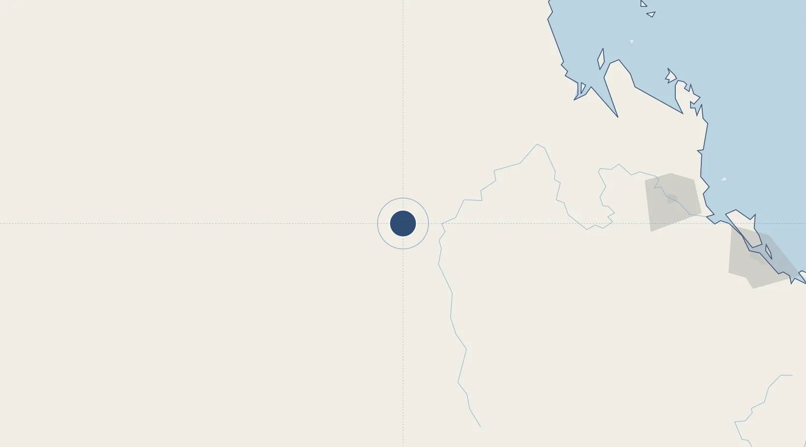
-23.5675°, 148.1790°
6,234 ft
Longest runway
2
Runways
624 ft
Elevation
Runway & Layout

Radio Frequencies
CTAF
126.7 MHz
FSS
122.3 MHz
BRISBANE CNTR
Navaids
EML NDB Emerald 324 kHz
Runways · 2
| Runway | Dimensions | Surface | True heading | Lit |
|---|---|---|---|---|
| 06/24 | 6,234 × 98ft | Asphalt | 071° | ✓ |
| 15/33 | 3,038 × 59ft | Gravel | 152° | ✓ |
Airport Specifications
IATA code
EMD
ICAO code
YEML
Airport class
Medium airport
Scheduled service
Yes
Runway surface
Asphalt
Served city
Emerald
Location
Nearby Logistics Neighbours
Airports
- 1Blackwater Airport64 km
- 2Clermont Airport105 km
- 3Dysart Airport107 km
- 4Moranbah Airport168 km
- 5Rockhampton Airport235 km
Cities
- 1Gracemere232 km
- 2Rosslyn Bay270 km
- 3Port Alma273 km
- 4Pleystowe282 km
- 5Mackay284 km
Trade Zones
DatabookThe Record of Consolidated Knowledge
Australia beyond logistics?