Transport Functions
Rail
Road
Hub Profile
Place type
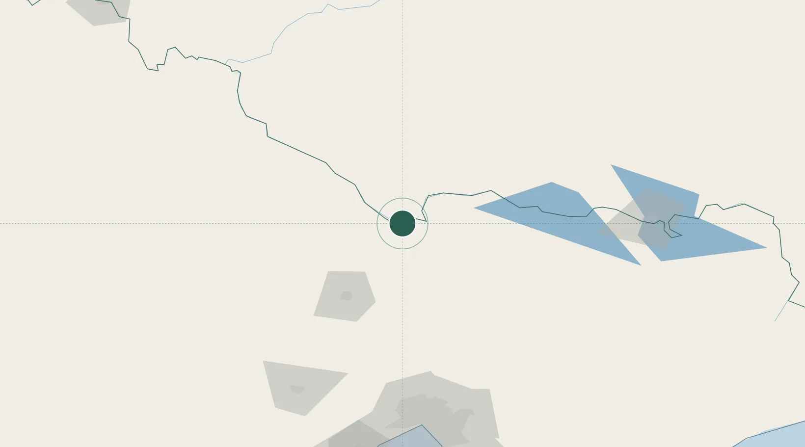
Populated place
Region
New South Wales
Population
6,164
Time zone
Australia/Sydney
Elevation
98 m
Location
Nearby Logistics Neighbours
Cities
- 1Mathoura35 km
- 2Colbinabbin54 km
- 3Numurkah60 km
- 4Murchison71 km
- 5Cobram83 km
Ports
- 1Melbourne192 km
- 2Geelong229 km
- 3Western Port252 km
- 4Welshpool324 km
- 5Warrnambool325 km
Airports
- 1Echuca Airport5 km
- 2Deniliquin Airport64 km
- 3Shepparton Airport66 km
- 4Bendigo Airport80 km
- 5Kerang Airport85 km
Trade Zones
DatabookThe Record of Consolidated Knowledge
Australia beyond logistics?