Transport Functions
Rail
Road
Hub Profile
Place type
Populated place
Region
New South Wales
Population
933
Time zone
Australia/Sydney
Elevation
110 m
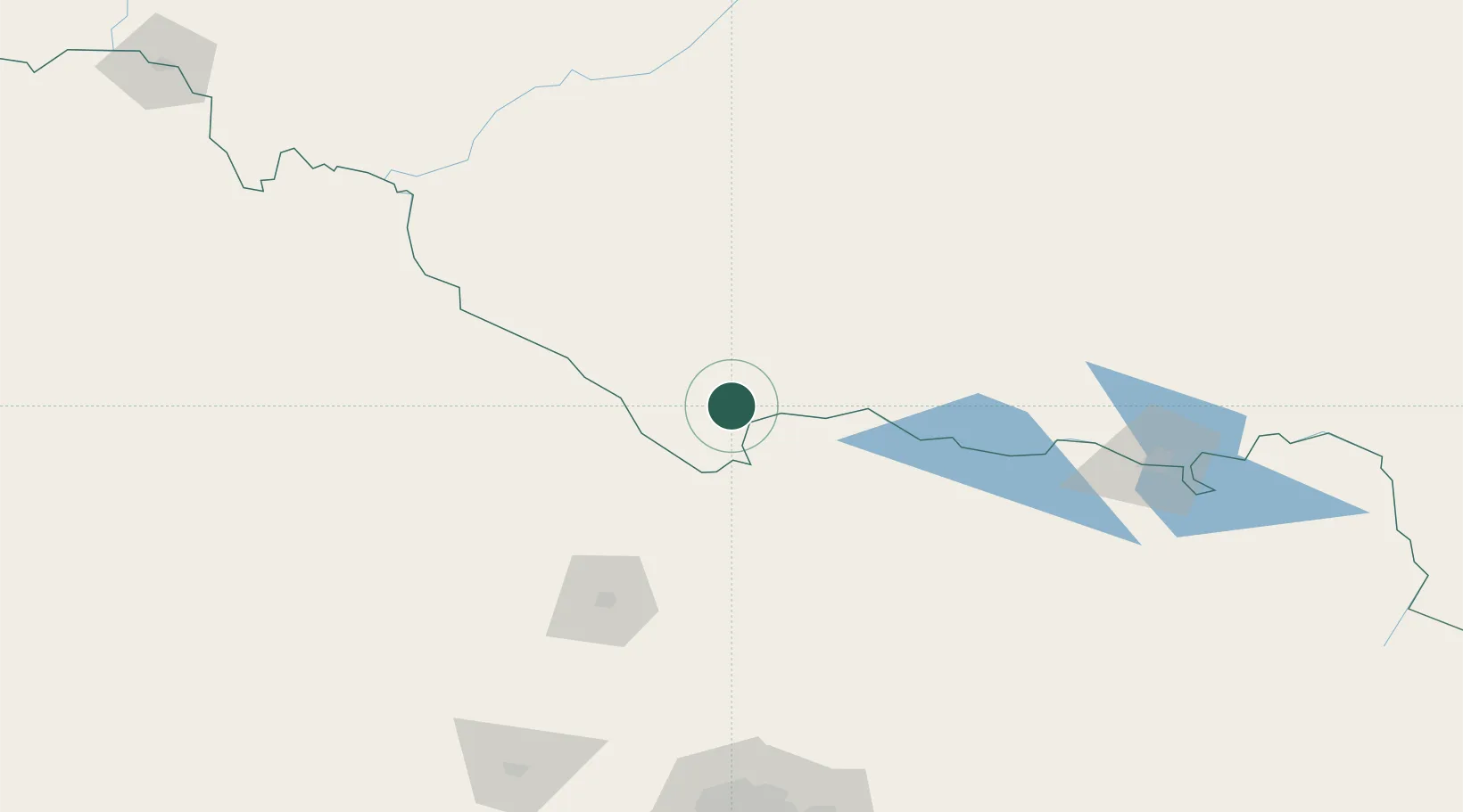
Location
Nearby Logistics Neighbours
Cities
- 1Moama35 km
- 2Numurkah59 km
- 3Cobram70 km
- 4Colbinabbin88 km
- 5Jerilderie93 km
Ports
- 1Melbourne224 km
- 2Geelong264 km
- 3Western Port283 km
- 4Welshpool350 km
- 5Warrnambool358 km
Airports
- 1Deniliquin Airport29 km
- 2Echuca Airport39 km
- 3Shepparton Airport82 km
- 4Kerang Airport86 km
- 5Bendigo Airport114 km
Trade Zones
DatabookThe Record of Consolidated Knowledge
Australia beyond logistics?