Medium airport · Australia
Kerang AirportYKER
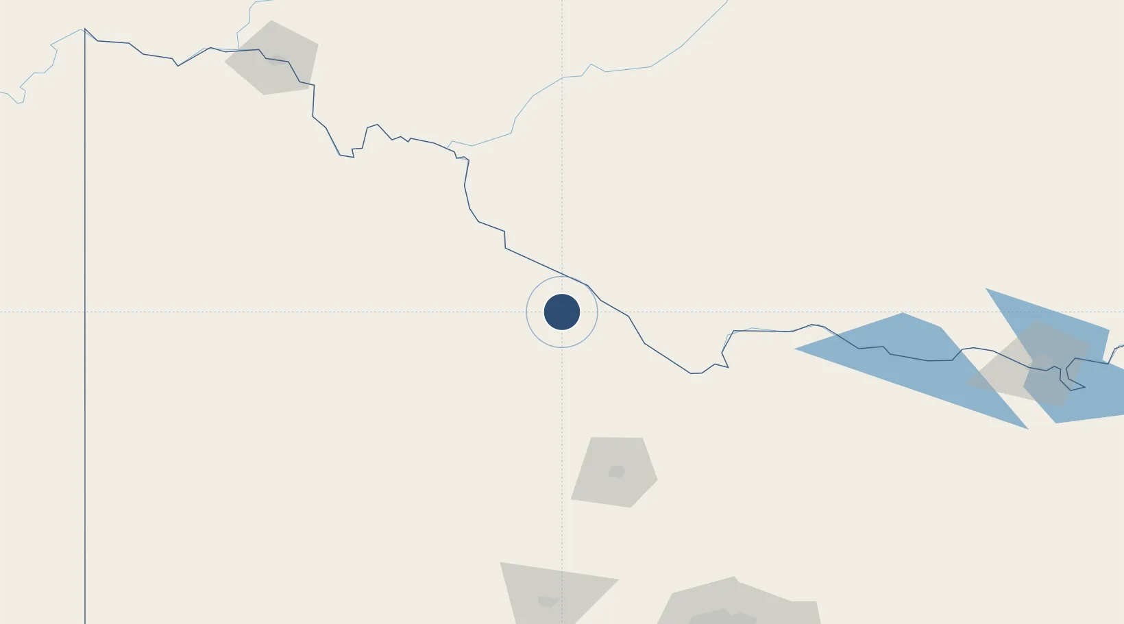
-35.7514°, 143.9390°
3,501 ft
Longest runway
2
Runways
254 ft
Elevation
Runway & Layout

Radio Frequencies
CTAF
126.7 MHz
FSS
125.8 MHz
MELBOURNE CNTR
Runways · 2
| Runway | Dimensions | Surface | True heading | Lit |
|---|---|---|---|---|
| 14/32 | 3,501 × 60ft | Asphalt | 149° | ✓ |
| 05/23 | 2,267 × 60ft | Gravel | 059° | ✓ |
Airport Specifications
IATA code
KRA
ICAO code
YKER
Airport class
Medium airport
Scheduled service
No
Runway surface
Asphalt
Location
Nearby Logistics Neighbours
Airports
- 1Swan Hill Airport56 km
- 2Echuca Airport87 km
- 3Deniliquin Airport94 km
- 4Bendigo Airport115 km
- 5Balranald Airport130 km
Cities
- 1Boort45 km
- 2Moama85 km
- 3Mathoura86 km
- 4Bridgewater-on-Loddon94 km
- 5Colbinabbin121 km
Ports
- 1Melbourne249 km
- 2Geelong269 km
- 3Western Port311 km
- 4Warrnambool322 km
- 5Portland354 km
Trade Zones
DatabookThe Record of Consolidated Knowledge
Australia beyond logistics?