Runway & Layout

Airport Specifications
IATA code
LKI
ICAO code
WIML
Airport class
Small airport
Scheduled service
Yes
Served city
Lubang
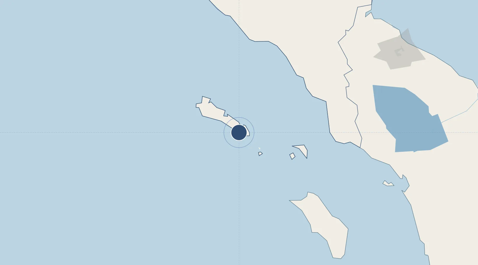
Location
Nearby Logistics Neighbours
Airports
- 1Cut Nyak Dhien Airport181 km
- 2Syekh Hamzah Fansyuri Airport183 km
- 3Alas Leuser Airport202 km
- 4Binaka Airport206 km
- 5Rembele Airport263 km
Cities
- 1Medan, Sumatra297 km
- 2Kualalangsa301 km
- 3Belawan, Sumatra304 km
- 4Lhokseumawe319 km
- 5Krueng Geukueh325 km
Ports
- 1Sibolga281 km
- 2Pangkalansusu283 km
- 3Belawan303 km
- 4Blanglancang325 km
- 5Lhokseumawe328 km
Trade Zones
- 1Medan Industrial Estate296 km
- 2Medan Star Industrial Estate303 km
- 3KEK Arun Lhokseumawe323 km
- 4Sei Mangkei Special Economic Zone344 km
- 5Lampulo Fisheries Industrial Estate370 km
DatabookThe Record of Consolidated Knowledge
Indonesia beyond logistics?