Transport Functions
Multimodal
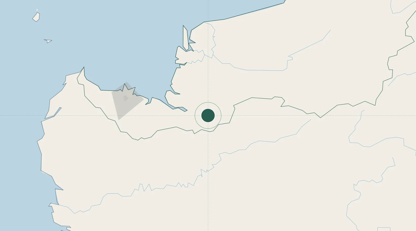
Hub Profile
Place type
Populated place
Region
Sarawak
Time zone
Asia/Kuching
Elevation
66 m
Location
Nearby Logistics Neighbours
Cities
- 1Samu39 km
- 2Sebuyau93 km
- 3Sarikei98 km
- 4Tanjung Manis108 km
- 5Sibu, Sarawak113 km
Airports
- 1Sibu Airport114 km
- 2Susilo Airport137 km
- 3Pangsuma Airport143 km
- 4Tebelian Airport149 km
- 5Kuching International Airport155 km
Trade Zones
- 1Sama Jaya Free Industrial Zone151 km
- 2Sarawak Corridor Of Renewable Energy152 km
- 3Mas Cargo Free Zone, Penang422 km
- 4Kawasan Industri Suge497 km
- 5Delma Industrial Park527 km
DatabookThe Record of Consolidated Knowledge
Malaysia beyond logistics?