UN/LOCODE hub · Indonesia
IDPWG
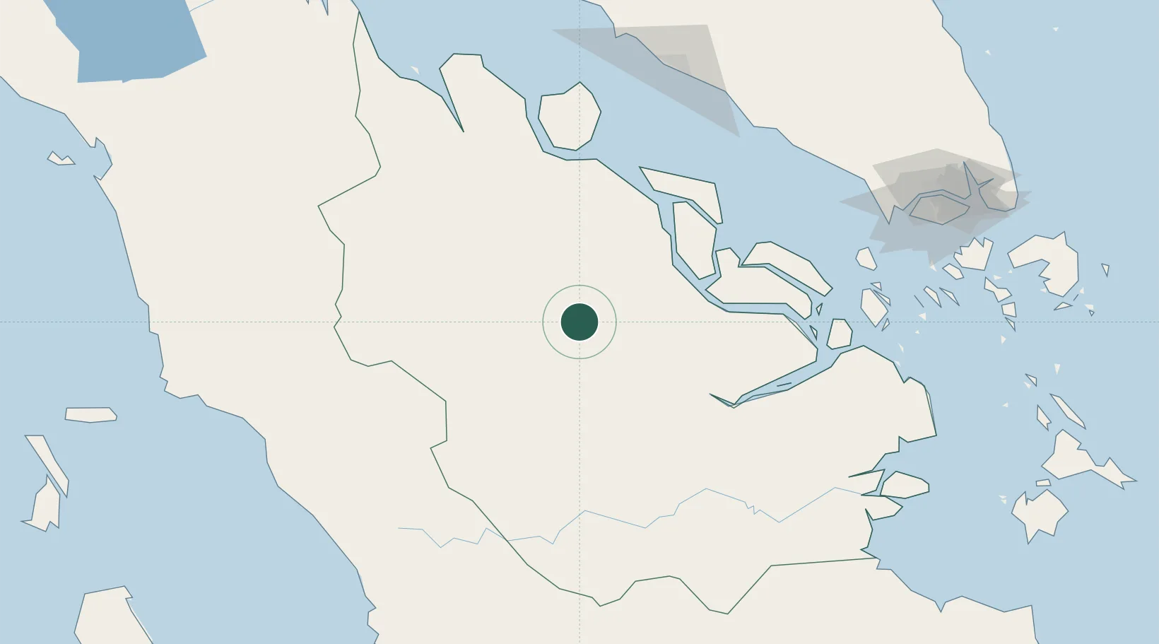
Perawang
0.6783°, 101.6461°
2
Transport functions
1
Container terminals
Transport Functions
Port
Road
Hub Profile
Place type
Populated place
Region
Riau
Time zone
Asia/Jakarta
Elevation
8 m
Logistics facilities
1
Container terminals
1
Location
Nearby Logistics Neighbours
Cities
- 1Pelabuhan Futong Terminal85 km
- 2Perawang142 km
- 3Sawahlunto178 km
- 4Bukittinggi180 km
- 5Sungai Udang181 km
Ports
- 1Lalang Marine Terminal85 km
- 2Sungaipakning95 km
- 3Bengkalis101 km
- 4Dumai114 km
- 5Melaka182 km
Airports
Trade Zones
DatabookThe Record of Consolidated Knowledge
Indonesia beyond logistics?