Medium airport · Indonesia

Sultan Syarif Kasim II International Airport / Roesmin Nurjadin AFBWIBB
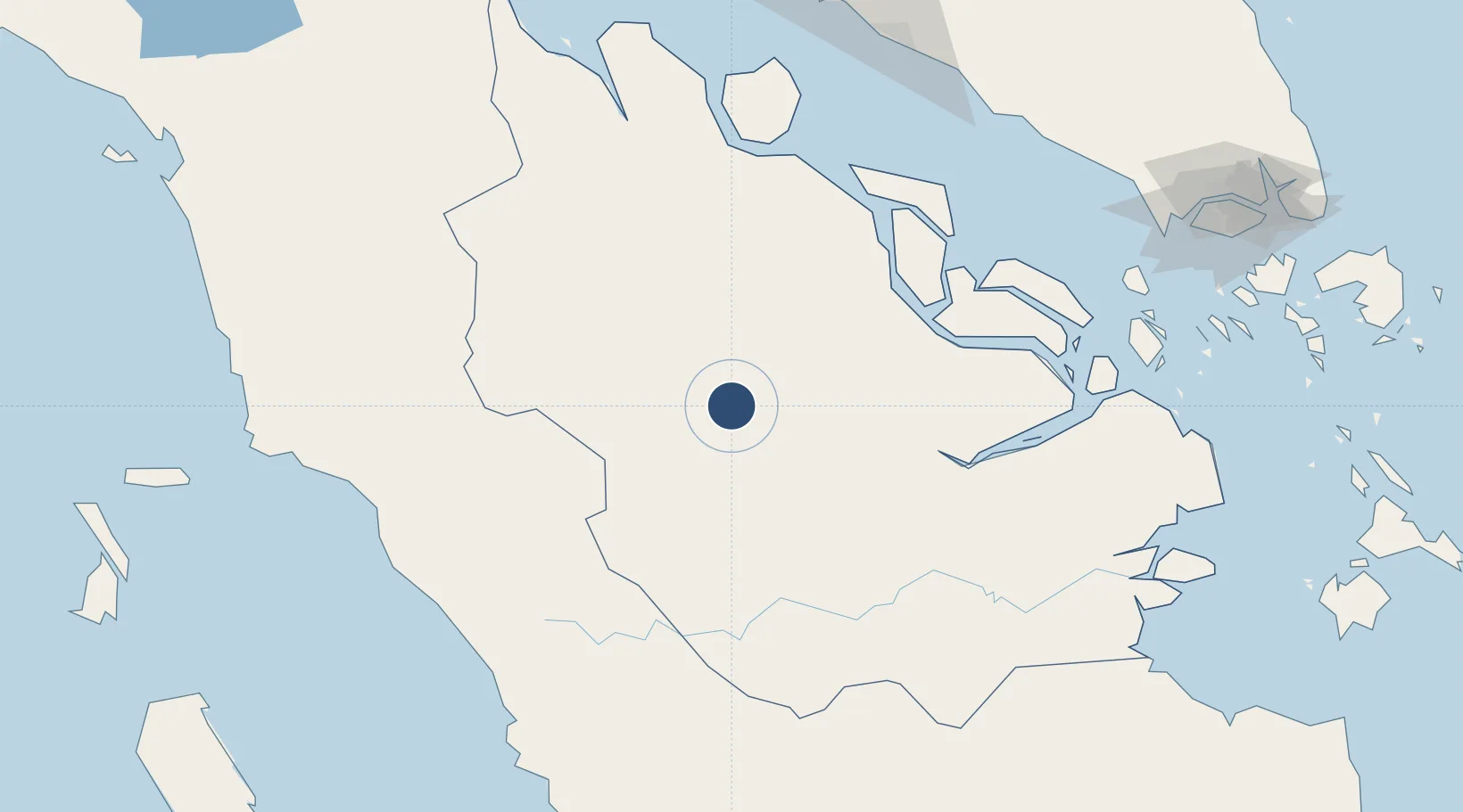
0.4586°, 101.4443°
7,360 ft
Longest runway
1
Runways
102 ft
Elevation

Runway & Layout

Sultan Syarif Kasim II International Airport / Roesmin Nurjadin AFB runway & taxiway layout
Runway & taxiway layout — OpenStreetMap (ODbL) / OurAirports

Radio Frequencies

TWR
118.1 MHz
SYARIF TWR
APP
120.8 MHz
PEKANBARU APP
OurAirports

Navaids

NW NDB Pekanbaru 350 kHz
PKU VOR-DME Pekanbaru 112.10 MHz
OurAirports

Runways · 1

RunwayDimensions SurfaceTrue headingLit
18/36 7,360 × 98ft Asphalt 182°
OurAirports

Airport Specifications

IATA code
PKU
OurAirports
ICAO code
WIBB
OurAirports
Airport class
Medium airport
OurAirports
Scheduled service
Yes
OurAirports
Runway surface
Asphalt
OurAirports
Served city
Pekanbaru
OurAirports

Location

Location of WIBB
Natural Earth 10m (public domain) · Riau · WIBB · 0.46, 101.44GoogleOSMYandex

Nearby Logistics Neighbours

Airports
  1. 1Pinang Kampai Airport128 km
  2. 2Japura Airport134 km
  3. 3Pusako Anak Nagariu Airport190 km
  4. 4Minangkabau International Airport190 km
  5. 5Tabing Airport192 km
Nearest neighbours — logibook spatial index (haversine) over the source coordinates
Cities
  1. 1Perawang33 km
  2. 2Pelabuhan Futong Terminal114 km
  3. 3Sawahlunto145 km
  4. 4Bukittinggi148 km
  5. 5Perawang172 km
Nearest neighbours — logibook spatial index (haversine) over the source coordinates
Ports
  1. 1Lalang Marine Terminal118 km
  2. 2Sungaipakning128 km
  3. 3Bengkalis134 km
  4. 4Dumai136 km
  5. 5Teluk Bayur202 km
Nearest neighbours — logibook spatial index (haversine) over the source coordinates
Trade Zones
  1. 1Dumai Industrial Park135 km
  2. 2Tanjung Kling Free Industrial Zone211 km
  3. 3Batu Berendam Free Industrial Zone Phases I,Ii,Iii217 km
  4. 4Ayer Keroh Business Industrial Park221 km
  5. 5Karimun Free Trade Zone226 km
Nearest neighbours — logibook spatial index (haversine) over the source coordinates
DatabookThe Record of Consolidated Knowledge
Indonesia beyond logistics?
Browse databook

All Sources

AirportsOurAirports
Public domain
Portsthe NGA World Port Index
Public domain (US gov)
LocationsUN/LOCODE
UN/LOCODE — free
Trade Zonesthe World Bank SEZ database
CC BY 4.0
Trade ZonesOpen Zone Map
CC BY
InfrastructureOpenStreetMap
ODbL 1.0
← Indonesia airports