Diversified Zone · Malaysia

Ayer Keroh Business Industrial Park Under Development
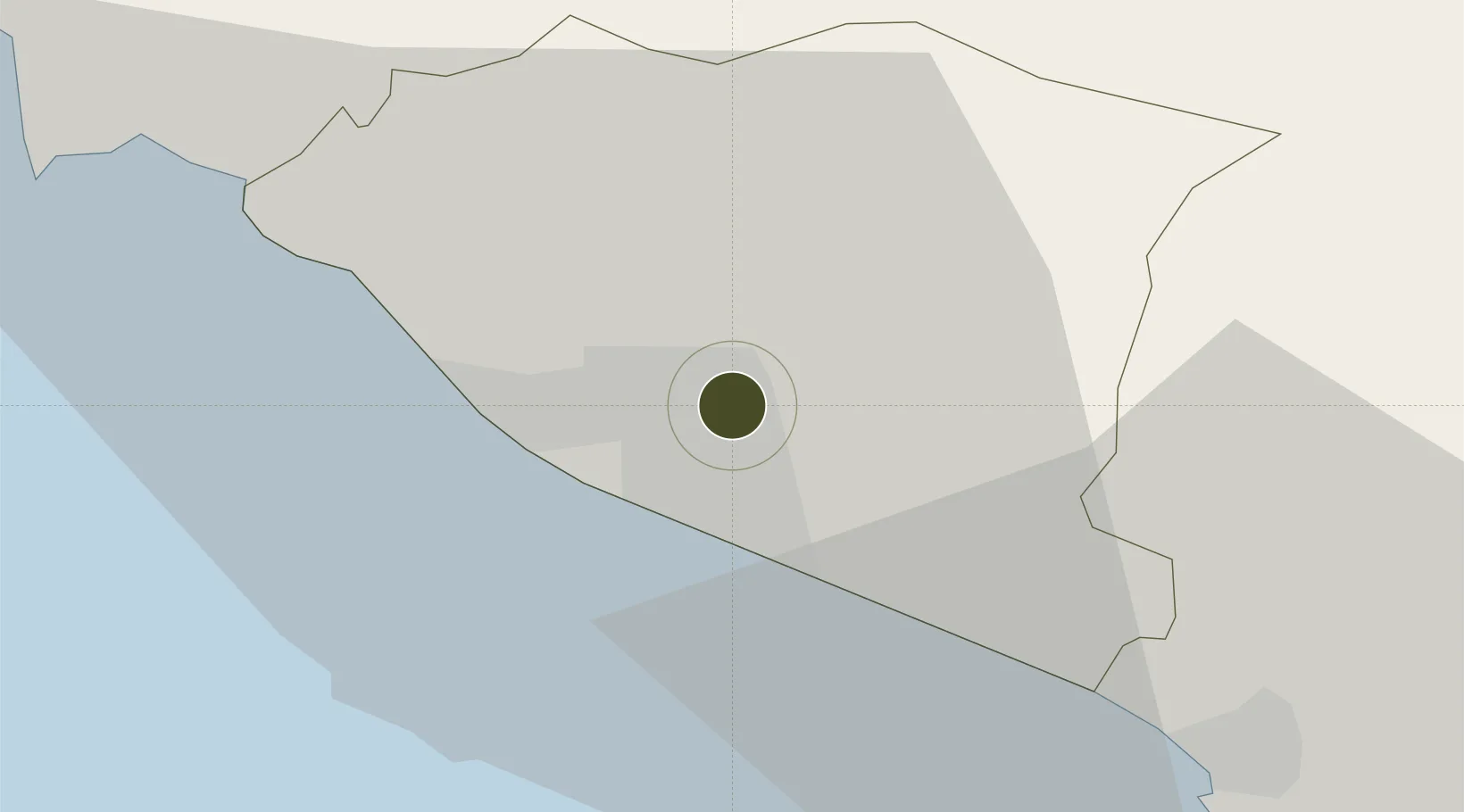
2.2617°, 102.2757°
13 ha
Zone area
7.4 km
Nearest port
2.6 km
Nearest airport

Gateway access

Nearest neighbours — logibook spatial index (haversine) over the source coordinates

Zone profile

Zone type
Diversified Zone
Open Zone Map
Region
Melaka
Open Zone Map
Status
Under Development
Open Zone Map
Management
Public-Private Partnership
Open Zone Map
Operator
PDG Development Sdn Bhd
Open Zone Map
Legal framework
Promotion of Investments Act 1986 and the Income Tax Act 1967.
Open Zone Map

Location

Location of ozm-2756
Natural Earth 10m (public domain) · Melaka · ozm-2756 · 2.26, 102.28GoogleOSMYandex

Nearby Logistics Neighbours

Ports
  1. 1Melaka7 km
  2. 2Pelabuhan Sungai Udang16 km
  3. 3Muar40 km
  4. 4Port Dickson63 km
  5. 5Bengkalis91 km
Nearest neighbours — logibook spatial index (haversine) over the source coordinates
Airports
  1. 1Malacca International Airport3 km
  2. 2Kuala Lumpur International Airport83 km
  3. 3Kluang Airport117 km
  4. 4Pinang Kampai Airport118 km
  5. 5Sultan Abdul Aziz Shah International Airport126 km
Nearest neighbours — logibook spatial index (haversine) over the source coordinates
Cities
  1. 1Alor Gajah14 km
  2. 2Sungai Udang Port16 km
  3. 3Sungai Udang21 km
  4. 4Rembau41 km
  5. 5Senawang60 km
Nearest neighbours — logibook spatial index (haversine) over the source coordinates
Trade Zones
  1. 1Batu Berendam Free Industrial Zone Phases I,Ii,Iii5 km
  2. 2Tanjung Kling Free Industrial Zone14 km
  3. 3Pedas Halal Park (Miel)42 km
  4. 4Senawang Industrial Park57 km
  5. 5Galla Industrial Park67 km
Nearest neighbours — logibook spatial index (haversine) over the source coordinates
DatabookThe Record of Consolidated Knowledge
Malaysia beyond logistics?
Browse databook

All Sources

Trade ZonesOpen Zone Map
CC BY
Portsthe NGA World Port Index
Public domain (US gov)
AirportsOurAirports
Public domain
LocationsUN/LOCODE
UN/LOCODE — free
← Malaysia trade zones