Medium airport · Indonesia
Japura AirportWIBJ
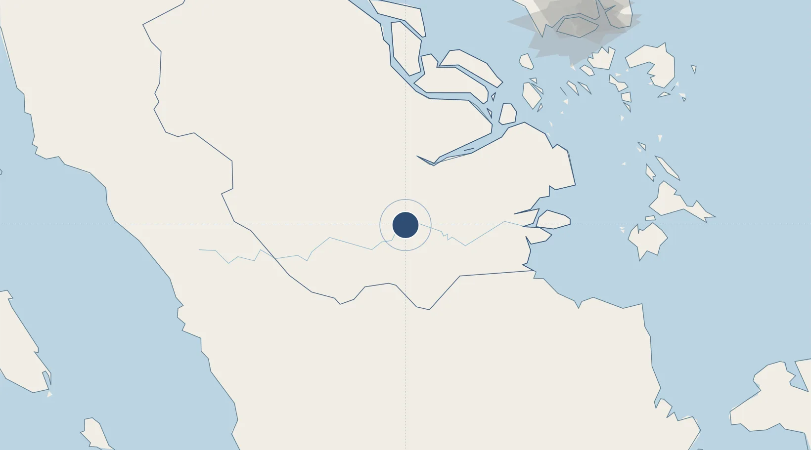
-0.3528°, 102.3350°
4,265 ft
Longest runway
1
Runways
62 ft
Elevation
Runway & Layout

Radio Frequencies
A/G
122.8 MHz
RDO
AFIS
118.2 MHz
INFO
Navaids
AD NDB Rengat 280 kHz
Runways · 1
| Runway | Dimensions | Surface | True heading | Lit |
|---|---|---|---|---|
| 10/28 | 4,265 × 98ft | Asphalt | 099° | — |
Airport Specifications
IATA code
RGT
ICAO code
WIBJ
Airport class
Medium airport
Scheduled service
No
Runway surface
Asphalt
Served city
Rengat-Sumatra Island
Location
Nearby Logistics Neighbours
Airports
Cities
- 1Batuampar81 km
- 2Kuala Enok120 km
- 3Muarabungo126 km
- 4Pelabuhan Futong Terminal130 km
- 5Perawang138 km
Ports
- 1Lalang Marine Terminal171 km
- 2Sungaipakning190 km
- 3Tanjung Balai Karimun192 km
- 4Jabung Batanghari Marine Terminal203 km
- 5Bengkalis204 km
Trade Zones
DatabookThe Record of Consolidated Knowledge
Indonesia beyond logistics?