Transport Functions
Port
Road
Hub Profile
Place type
Populated place
Region
Riau
Time zone
Asia/Jakarta
Elevation
6 m
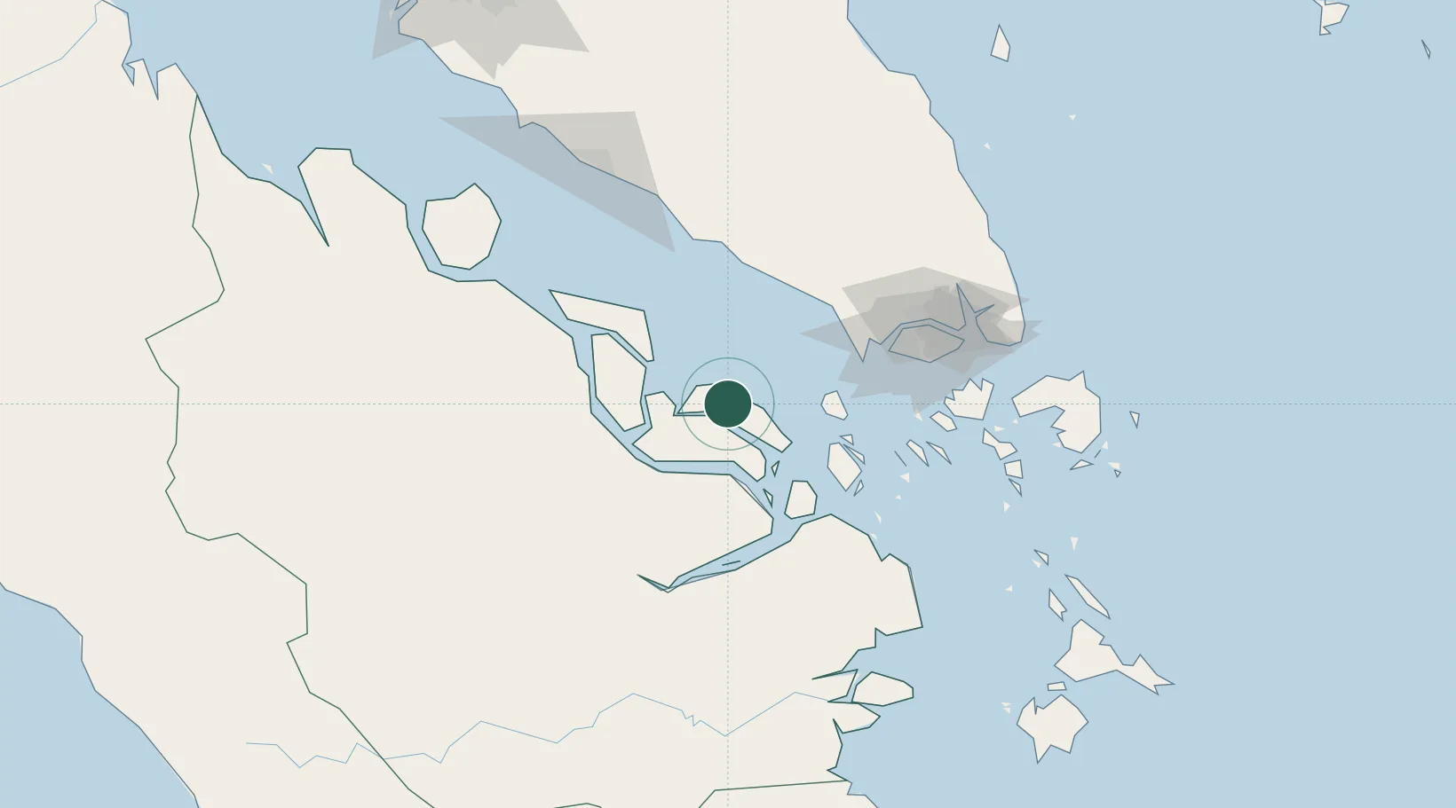
Location
Nearby Logistics Neighbours
Cities
- 1Pelabuhan Futong Terminal59 km
- 2Tanjungbalai63 km
- 3Nipah76 km
- 4Durian78 km
- 5Tanjong Bin82 km
Ports
- 1Tanjung Balai Karimun64 km
- 2Lalang Marine Terminal73 km
- 3Tanjung Pelepas82 km
- 4Sungaipakning84 km
- 5Bengkalis96 km
Airports
- 1Tengah Air Base100 km
- 2Senai International Airport110 km
- 3Sembawang Air Base113 km
- 4Seletar Airport118 km
- 5Kluang Airport119 km
Trade Zones
DatabookThe Record of Consolidated Knowledge
Indonesia beyond logistics?