Medium airport · Indonesia

Pinang Kampai AirportWIBD
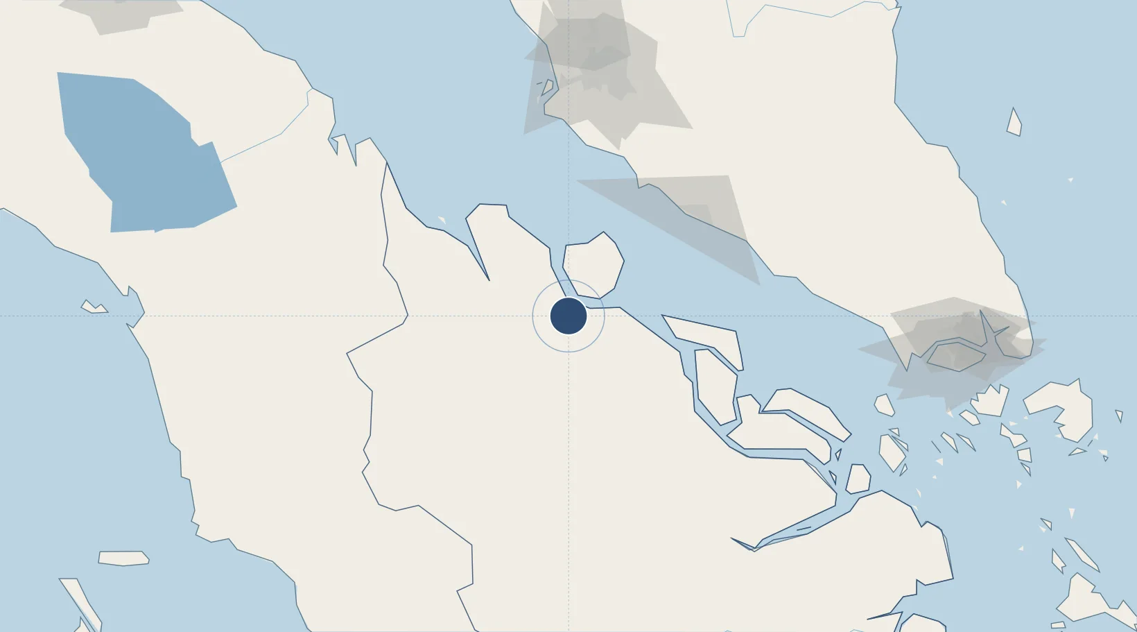
1.6090°, 101.4335°
5,905 ft
Longest runway
1
Runways
55 ft
Elevation

Runway & Layout

Pinang Kampai Airport runway & taxiway layout
Runway & taxiway layout — OpenStreetMap (ODbL) / OurAirports

Radio Frequencies

RDO
122.6 MHz
DUMAI RDO
OurAirports

Navaids

DM NDB Dumai 343 kHz
OurAirports

Runways · 1

RunwayDimensions SurfaceTrue headingLit
03/21 5,905 × 98ft Asphalt 030°
OurAirports

Airport Specifications

IATA code
DUM
OurAirports
ICAO code
WIBD
OurAirports
Airport class
Medium airport
OurAirports
Scheduled service
Yes
OurAirports
Runway surface
Asphalt
OurAirports
Served city
Dumai
OurAirports

Location

Location of WIBD
Natural Earth 10m (public domain) · Riau · WIBD · 1.61, 101.43GoogleOSMYandex

Nearby Logistics Neighbours

Airports
  1. 1Malacca International Airport117 km
  2. 2Sultan Syarif Kasim II International Airport / Roesmin Nurjadin AFB128 km
  3. 3Kuala Lumpur International Airport130 km
  4. 4Sultan Abdul Aziz Shah International Airport170 km
  5. 5Kluang Airport214 km
Nearest neighbours — logibook spatial index (haversine) over the source coordinates
Cities
  1. 1Sungai Udang102 km
  2. 2Sungai Udang Port106 km
  3. 3Perawang106 km
  4. 4Alor Gajah120 km
  5. 5Sepang, Selangor126 km
Nearest neighbours — logibook spatial index (haversine) over the source coordinates
Ports
  1. 1Dumai9 km
  2. 2Bengkalis76 km
  3. 3Sungaipakning86 km
  4. 4Lalang Marine Terminal99 km
  5. 5Pelabuhan Sungai Udang106 km
Nearest neighbours — logibook spatial index (haversine) over the source coordinates
Trade Zones
  1. 1Dumai Industrial Park24 km
  2. 2Tanjung Kling Free Industrial Zone105 km
  3. 3Batu Berendam Free Industrial Zone Phases I,Ii,Iii113 km
  4. 4Ayer Keroh Business Industrial Park118 km
  5. 5Pedas Halal Park (Miel)126 km
Nearest neighbours — logibook spatial index (haversine) over the source coordinates
DatabookThe Record of Consolidated Knowledge
Indonesia beyond logistics?
Browse databook

All Sources

AirportsOurAirports
Public domain
Portsthe NGA World Port Index
Public domain (US gov)
LocationsUN/LOCODE
UN/LOCODE — free
Trade Zonesthe World Bank SEZ database
CC BY 4.0
Trade ZonesOpen Zone Map
CC BY
InfrastructureOpenStreetMap
ODbL 1.0
← Indonesia airports