Transport Functions
Port
Hub Profile
Region
RI
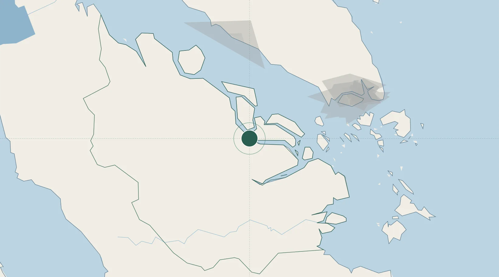
Location
Nearby Logistics Neighbours
Cities
- 1Perawang59 km
- 2Perawang85 km
- 3Tanjungbalai117 km
- 4Durian132 km
- 5Nipah132 km
Ports
- 1Lalang Marine Terminal46 km
- 2Sungaipakning65 km
- 3Bengkalis80 km
- 4Tanjung Balai Karimun116 km
- 5Muar138 km
Airports
Trade Zones
DatabookThe Record of Consolidated Knowledge
Indonesia beyond logistics?