Channel & Berth Profile
Pilotage, Tugs & Services
Pilotage compulsoryYES
Pilotage availableYES
Pilotage advisableYES
Tug assistanceYES
Potable waterYES
MedicalYES
Facilities & Capabilities
Container—
Ro-Ro—
Liquid bulk—
Dry bulk—
Oil terminal—
Break bulk—
Dry dock—
Repairs—
BunkeringNO
Rail link—
Dangerous cargo—
ISPS security—
Harbour Specifications
Harbour size
Small
Harbour type
Coastal (Natural)
Shelter
Fair
Water body
Strait of Malacca; Indian Ocean
Pilotage
Yes
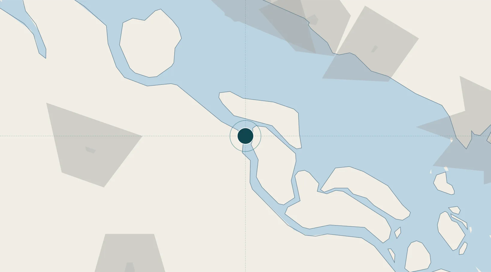
Location
Nearby Logistics Neighbours
Ports
- 1Bengkalis15 km
- 2Lalang Marine Terminal19 km
- 3Dumai88 km
- 4Muar90 km
- 5Melaka95 km
Cities
- 1Pelabuhan Futong Terminal65 km
- 2Perawang84 km
- 3Perawang95 km
- 4Sungai Udang Port100 km
- 5Sungai Udang101 km
Airports
Trade Zones
DatabookThe Record of Consolidated Knowledge
Indonesia beyond logistics?