Medium airport · Indonesia
Old Nabire AirportID-0339
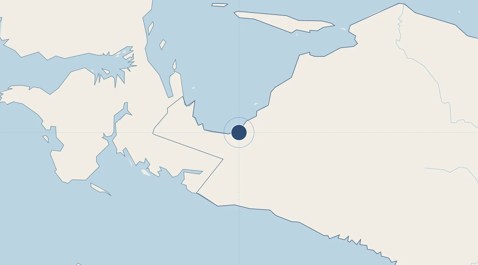
-3.3686°, 135.4967°
4,593 ft
Longest runway
1
Runways
20 ft
Elevation
Runway & Layout

Radio Frequencies
TWR
122.3 MHz
RDO
558 MHz
Navaids
NBR VOR-DME Nabire 117.30 MHz
ZR NDB Nabire 242 kHz
Runways · 1
| Runway | Dimensions | Surface | True heading | Lit |
|---|---|---|---|---|
| 16/34 | 4,593 × 98ft | Asphalt | 161° | — |
Airport Specifications
Airport class
Medium airport
Scheduled service
Yes
Runway surface
Asphalt
Served city
Nabire
Location
Nearby Logistics Neighbours
Airports
- 1Douw Aturure Airport12 km
- 2Bilorai Airport175 km
- 3Stevanus Rumbewas Airport182 km
- 4Mozes Kilangin Airport201 km
- 5Utarom Airport202 km
Ports
- 1Amamapare229 km
- 2Manokwari Road320 km
- 3Fakfak360 km
- 4Kasim Terminal548 km
- 5Salawati549 km
Trade Zones
- 1KEK Sorong539 km
- 2Sandaun Special Economic Zone607 km
- 3Western Province Special Economic Zone645 km
- 4Vanimo Special Economic Zone647 km
- 5Sepik Special Economic Zone687 km
DatabookThe Record of Consolidated Knowledge
Indonesia beyond logistics?