Runway & Layout

Airport Specifications
IATA code
NBX
ICAO code
WABI
Airport class
Medium airport
Scheduled service
No
Served city
Nabire
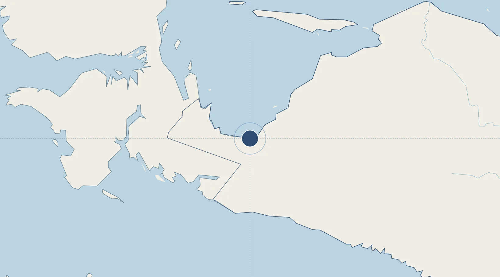
Location
Nearby Logistics Neighbours
Airports
- 1Old Nabire Airport12 km
- 2Bilorai Airport186 km
- 3Stevanus Rumbewas Airport190 km
- 4Utarom Airport190 km
- 5Mozes Kilangin Airport208 km
Ports
- 1Amamapare235 km
- 2Manokwari Road317 km
- 3Fakfak349 km
- 4Kasim Terminal539 km
- 5Salawati540 km
Trade Zones
- 1KEK Sorong531 km
- 2Sandaun Special Economic Zone618 km
- 3Western Province Special Economic Zone652 km
- 4Vanimo Special Economic Zone659 km
- 5Sepik Special Economic Zone698 km
DatabookThe Record of Consolidated Knowledge
Indonesia beyond logistics?