Seaport · Indonesia
Bontang Lng TerminalIDBXT
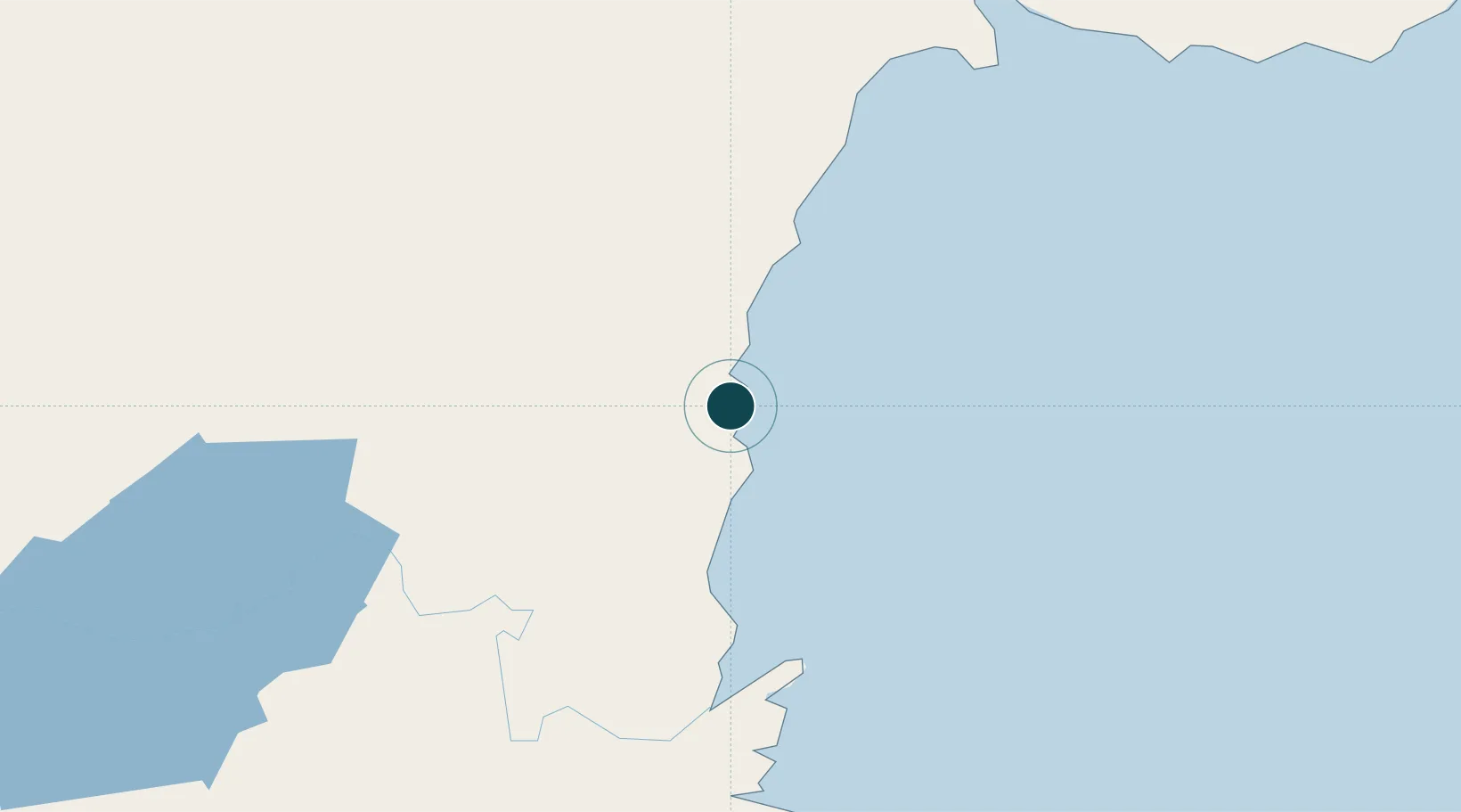
0.1000°, 117.4833°
12.5 m
Channel depth
8.3
Port liner connectivity
Channel & Berth Profile
Pilotage, Tugs & Services
Pilotage compulsoryYES
Pilotage availableYES
Tug assistanceYES
Potable waterYES
MedicalNO
Garbage disposalNO
Facilities & Capabilities
Container—
Ro-Ro—
Liquid bulk—
Dry bulk—
Oil terminal—
Break bulk—
Dry dock—
Repairs—
Bunkering—
Rail link—
Dangerous cargo—
ISPS security—
Harbour Specifications
Harbour size
Very Small
Harbour type
Coastal (Natural)
Shelter
Fair
Water body
Makassar Strait; South Pacific Ocean
Tidal range
8 m
Pilotage
Yes
Liner Connectivity
8.3
PLSCI
Port Liner Shipping Connectivity Index for Bontang Lng Terminal, as published by UNCTAD for the latest available quarter. Higher values indicate stronger scheduled liner-shipping integration.
Shown relative to the highest per-port PLSCI in the dataset (1,657.9).
Location
Nearby Logistics Neighbours
Ports
- 1Tanjung Santan23 km
- 2Tanjung Sangata31 km
- 3Samarinda80 km
- 4Senipah Oil Terminal122 km
- 5Balikpapan167 km
Cities
- 1Tanjung Merangas8 km
- 2Samarinda, Kalimantan79 km
- 3Lubuk Tutung79 km
- 4Senipah123 km
- 5Balikpapan160 km
Airports
Trade Zones
DatabookThe Record of Consolidated Knowledge
Indonesia beyond logistics?