UN/LOCODE hub · Indonesia
IDSRI
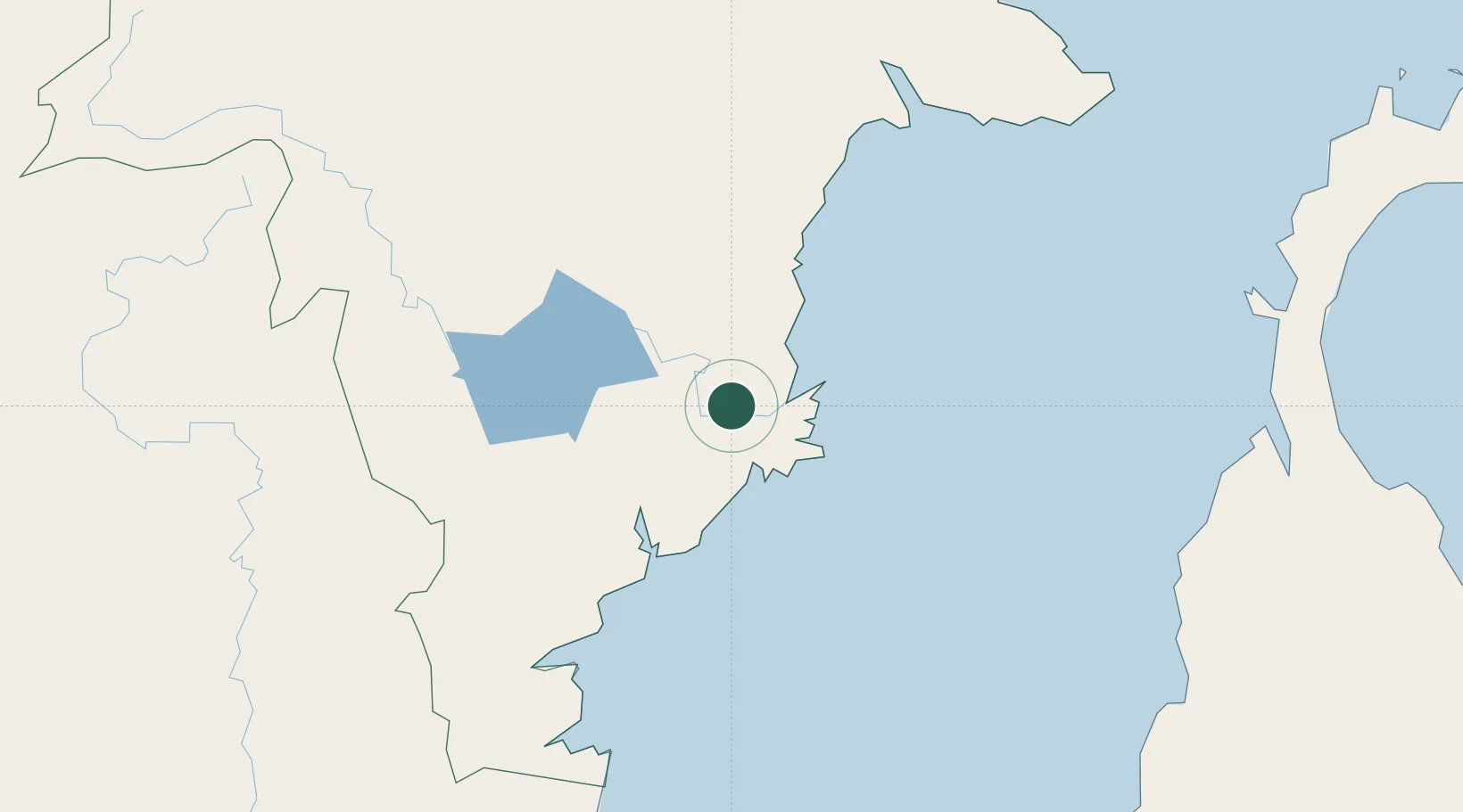
Samarinda, Kalimantan
-0.5381°, 117.1791°
2
Transport functions
1
Container terminals
Transport Functions
Port
Airport
Hub Profile
Logistics facilities
2
Container terminals
1
Location
Nearby Logistics Neighbours
Cities
- 1Senipah46 km
- 2Tanjung Merangas74 km
- 3Balikpapan81 km
- 4Kariangau82 km
- 5Pulau Bunyu148 km
Ports
- 1Senipah Oil Terminal46 km
- 2Tanjung Santan63 km
- 3Bontang Lng Terminal79 km
- 4Balikpapan89 km
- 5Tanjung Sangata110 km
Airports
Trade Zones
DatabookThe Record of Consolidated Knowledge
Indonesia beyond logistics?