Transport Functions
Rail
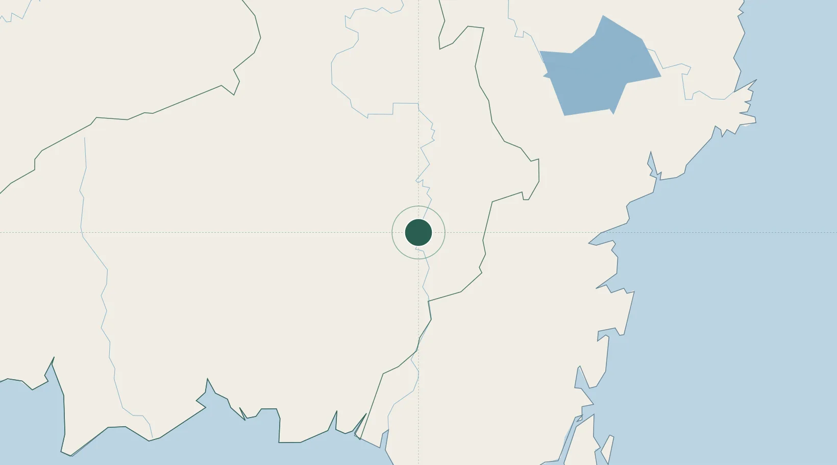
Hub Profile
Place type
Provincial seat
Region
Central Kalimantan
Time zone
Asia/Pontianak
Elevation
15 m
Location
Nearby Logistics Neighbours
Cities
- 1Marabahan143 km
- 2Banjarmasin184 km
- 3Pulau Bunyu196 km
- 4Taboneo225 km
- 5Tarjun225 km
Ports
- 1Tanah Merah152 km
- 2Banjarmasin183 km
- 3Gunung Batu Besar195 km
- 4Sampit220 km
- 5Lawi Lawi Oil Terminal220 km
Airports
- 1Haji Muhammad Sidik Airport76 km
- 2Warukin Airport91 km
- 3Tjilik Riwut Airport112 km
- 4Tumbang Samba Airport193 km
- 5Syamsudin Noor International Airport194 km
Trade Zones
DatabookThe Record of Consolidated Knowledge
Indonesia beyond logistics?