Runway & Layout

Airport Specifications
IATA code
HMS
ICAO code
WAGB
Airport class
Small airport
Scheduled service
Yes
Served city
Muara Teweh
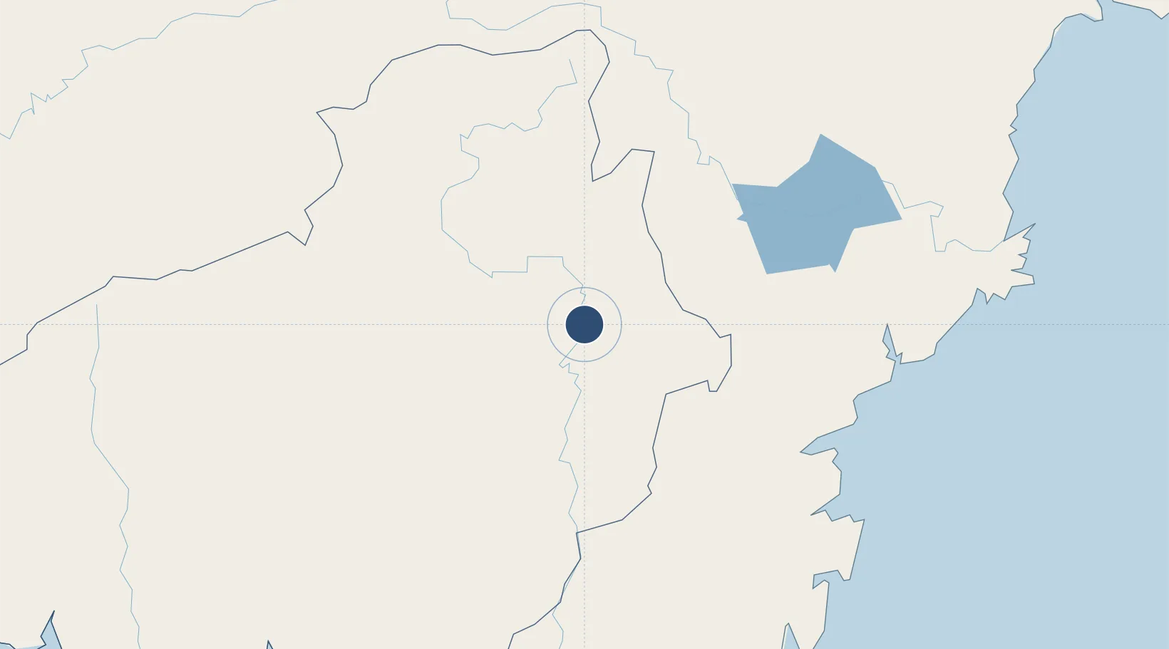
Location
Nearby Logistics Neighbours
Airports
- 1Warukin Airport144 km
- 2Tjilik Riwut Airport173 km
- 3Datadawai Airport209 km
- 4Tumbang Samba Airport211 km
- 5Sultan Aji Muhammad Sulaiman Sepinggan International Airport220 km
Cities
- 1Buntok76 km
- 2Pulau Bunyu132 km
- 3Kariangau206 km
- 4Balikpapan207 km
- 5Marabahan218 km
Ports
- 1Tanah Merah163 km
- 2Lawi Lawi Oil Terminal210 km
- 3Balikpapan211 km
- 4Gunung Batu Besar234 km
- 5Senipah Oil Terminal249 km
Trade Zones
DatabookThe Record of Consolidated Knowledge
Indonesia beyond logistics?