Seaport · Indonesia
SamarindaIDSRI
-0.5167°, 117.1167°
6.4 m
Channel depth
1
Container terminals
28.0
Port liner connectivity
Channel & Berth Profile
Pilotage, Tugs & Services
Pilotage compulsoryYES
Pilotage availableYES
Tug assistanceYES
Potable waterYES
MedicalYES
Garbage disposalNO
Facilities & Capabilities
Container—
Ro-Ro—
Liquid bulk—
Dry bulk—
Oil terminal—
Break bulk—
Dry dock—
RepairsNO
Bunkering—
Rail link—
Dangerous cargo—
ISPS security—
Harbour Specifications
Harbour size
Very Small
Harbour type
River (Natural)
Shelter
Good
Water body
Makassar Strait; South Pacific Ocean
Tidal range
1 m
Pilotage
Yes
Liner Connectivity
28
PLSCI
Port Liner Shipping Connectivity Index for Samarinda, as published by UNCTAD for the latest available quarter. Higher values indicate stronger scheduled liner-shipping integration.
Shown relative to the highest per-port PLSCI in the dataset (1,657.9).
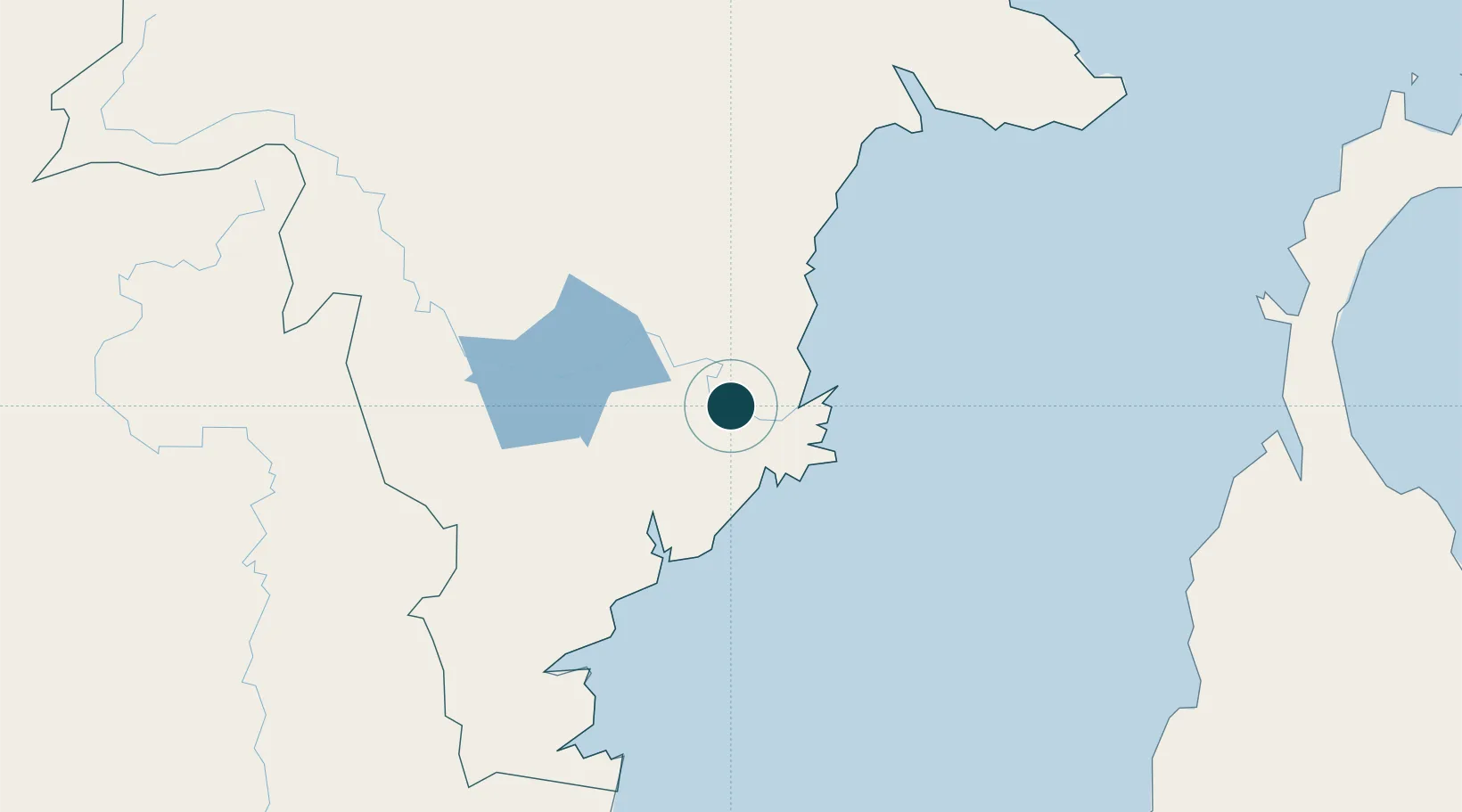
Location
Container Terminals · 1
TERMINAL PETIKEMAS PALARAN
TPPL PT PELABUHAN SAMUDERA PALARAN
Nearby Logistics Neighbours
Ports
- 1Senipah Oil Terminal49 km
- 2Tanjung Santan66 km
- 3Bontang Lng Terminal80 km
- 4Balikpapan88 km
- 5Tanjung Sangata110 km
Cities
- 1Senipah48 km
- 2Tanjung Merangas76 km
- 3Balikpapan80 km
- 4Kariangau81 km
- 5Pulau Bunyu141 km
Airports
Trade Zones
DatabookThe Record of Consolidated Knowledge
Indonesia beyond logistics?