Medium airport · Myanmar (Burma)
Putao AirportVYPT
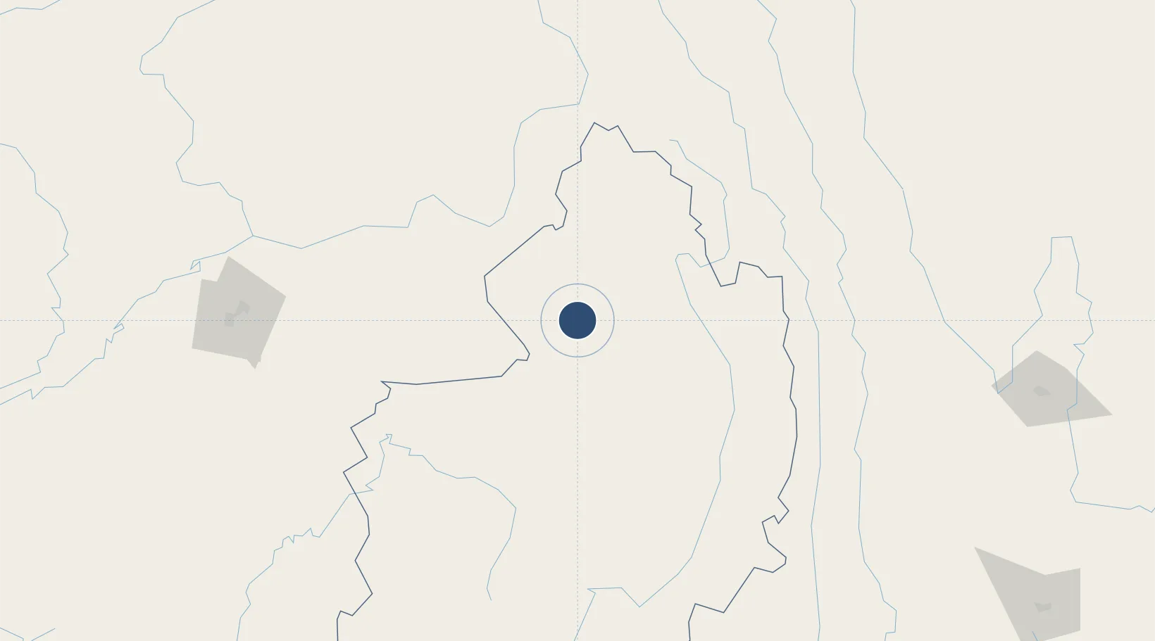
27.3299°, 97.4263°
7,002 ft
Longest runway
1
Runways
1,500 ft
Elevation
Runway & Layout

Radio Frequencies
TWR
118.7 MHz
Navaids
PT NDB Putao 340 kHz
Runways · 1
| Runway | Dimensions | Surface | True heading | Lit |
|---|---|---|---|---|
| 17/35 | 7,002 × 102ft | Bitumen | 174° | ✓ |
Airport Specifications
IATA code
PBU
ICAO code
VYPT
Airport class
Medium airport
Scheduled service
Yes
Runway surface
Bitumen
Served city
Putao
Location
Nearby Logistics Neighbours
Airports
- 1Myitkyina Airport217 km
- 2Nampong Air Base220 km
- 3Diqing Shangri-La Airport228 km
- 4Kanti Airport229 km
- 5Dibrugarh Airport239 km
Cities
- 1Jomotshangkha431 km
- 2Panzhihuazhan434 km
- 3Anning573 km
- 4Amingaon (Gauhati)584 km
- 5Phuntsho Raptenling587 km
Ports
- 1Chittagong794 km
- 2Sittwe923 km
- 3Mongla956 km
- 4Calcutta1059 km
- 5Haldia Port1113 km
DatabookThe Record of Consolidated Knowledge
Myanmar (Burma) beyond logistics?