Diversified Zone · China

Yunlong Industrial Park Active
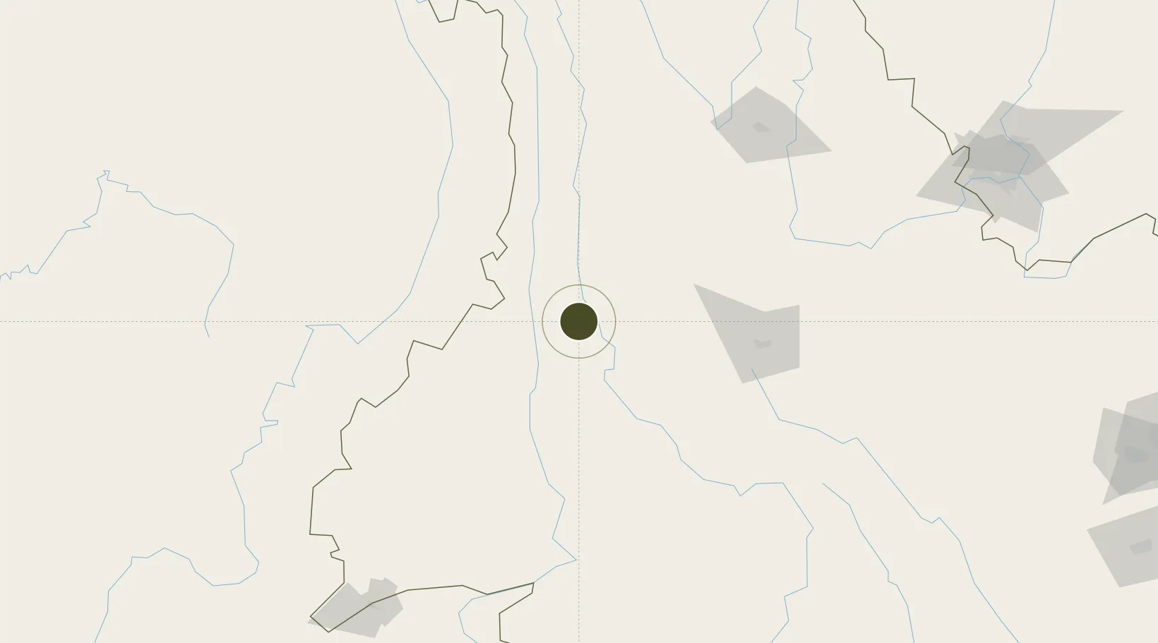
25.7265°, 99.1396°
41 ha
Zone area
834.6 km
Nearest port
74.9 km
Nearest airport

Gateway access

Nearest neighbours — logibook spatial index (haversine) over the source coordinates

Zone profile

Zone type
Diversified Zone
Open Zone Map
Region
Yunnan
Open Zone Map
Status
Active
Open Zone Map
Management
Public
Open Zone Map
Operator
Management Committee of Yunlong Industrial Park
Open Zone Map
Legal framework
Yunnan Provincial Committee of the Communist Party of China, Yunnan Provincial People's Government: Decision on Accelerating the Construction of a Modern Industrial System (July 27, 2020), Several Opinions of the General Office of the State Council on Pro
Open Zone Map

Location

Location of ozm-313
Natural Earth 10m (public domain) · Yunnan · ozm-313 · 25.73, 99.14GoogleOSMYandex

Nearby Logistics Neighbours

Ports
  1. 1Chittagong835 km
  2. 2Sittwe891 km
  3. 3Hai Phong937 km
  4. 4Hon Gai968 km
  5. 5Cam Pha988 km
Nearest neighbours — logibook spatial index (haversine) over the source coordinates
Airports
  1. 1Baoshan Yunrui Airport75 km
  2. 2Tengchong Tuofeng Airport110 km
  3. 3Dali Fengyi Airport119 km
  4. 4Lijiang Sanyi International Airport153 km
  5. 5Dehong Mangshi International Airport160 km
Nearest neighbours — logibook spatial index (haversine) over the source coordinates
Cities
  1. 1Panzhihuazhan274 km
  2. 2Anning348 km
  3. 3Yunnan Tengjun International Land Port Logistics Center364 km
  4. 4Yuxi373 km
  5. 5Simao374 km
Nearest neighbours — logibook spatial index (haversine) over the source coordinates
DatabookThe Record of Consolidated Knowledge
China beyond logistics?
Browse databook

All Sources

Trade ZonesOpen Zone Map
CC BY
Portsthe NGA World Port Index
Public domain (US gov)
AirportsOurAirports
Public domain
LocationsUN/LOCODE
UN/LOCODE — free
← China trade zones