UN/LOCODE hub · China
CNPZH

Panzhihuazhan

26.5667°, 101.7167°
1
Transport functions

Transport Functions

Rail
UN/LOCODE

Hub Profile

Region
SC
GeoNames

Location

Location of CNPZH
Natural Earth 10m (public domain) · SC · CNPZH · 26.57, 101.72GoogleOSMYandex

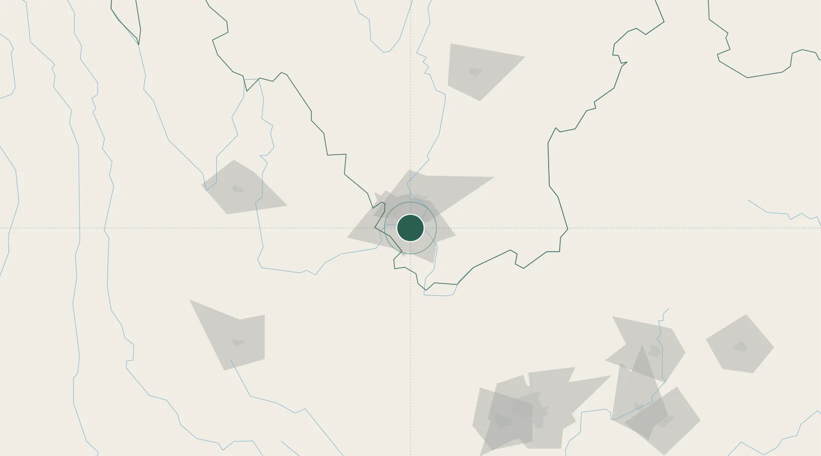
Nearby Logistics Neighbours

Cities
  1. 1Anning201 km
  2. 2Yunnan Tengjun International Land Port Logistics Center223 km
  3. 3Qujing239 km
  4. 4Yuxi259 km
  5. 5Vietnam Lee & Man Port284 km
Nearest neighbours — logibook spatial index (haversine) over the source coordinates
Ports
  1. 1Hai Phong806 km
  2. 2Hon Gai828 km
  3. 3Cam Pha842 km
  4. 4Fang-Cheng860 km
  5. 5Qinzhou880 km
Nearest neighbours — logibook spatial index (haversine) over the source coordinates
Airports
  1. 1Panzhihua Bao'anying Airport9 km
  2. 2Yuanmou Air Base94 km
  3. 3Ninglang Luguhu Airport144 km
  4. 4Lijiang Sanyi International Airport147 km
  5. 5Xiangyun Midu Air Base159 km
Nearest neighbours — logibook spatial index (haversine) over the source coordinates
DatabookThe Record of Consolidated Knowledge
China beyond logistics?
Browse databook

All Sources

LocationsUN/LOCODE
UN/LOCODE — free
Portsthe NGA World Port Index
Public domain (US gov)
AirportsOurAirports
Public domain
Trade Zonesthe World Bank SEZ database
CC BY 4.0
Trade ZonesOpen Zone Map
CC BY
← China locations