Medium airport · India
Dibrugarh AirportVEMN
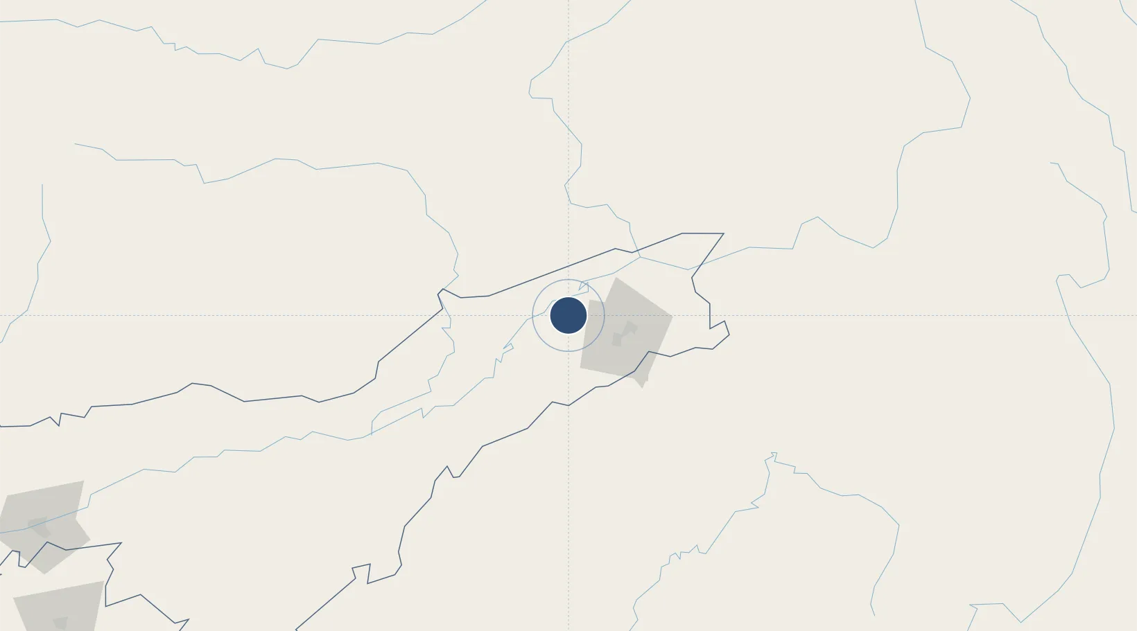
27.4839°, 95.0169°
6,000 ft
Longest runway
1
Runways
362 ft
Elevation
Runway & Layout

Radio Frequencies
TWR
123.5 MHz
Navaids
DBR NDB Dibrugarh 265 kHz
DRG VOR-DME Dibrugarh 117.30 MHz
Runways · 1
| Runway | Dimensions | Surface | True heading | Lit |
|---|---|---|---|---|
| 05/23 | 6,000 × 148ft | Asphalt | 045° | ✓ |
Airport Specifications
IATA code
DIB
ICAO code
VEMN
Airport class
Medium airport
Scheduled service
Yes
Runway surface
Asphalt
Served city
Dibrugarh
Location
Nearby Logistics Neighbours
Airports
- 1Along Airport80 km
- 2Lilabari North Lakhimpur Airport93 km
- 3Ziro Airport118 km
- 4Jorhat Airport118 km
- 5Itanagar Donyi Polo Hollongi Airport148 km
Cities
- 1Jomotshangkha201 km
- 2Phuntsho Raptenling353 km
- 3Samdrup Jongkhar357 km
- 4Amingaon (Gauhati)361 km
- 5Pelzomthang (Nganglam)380 km
Ports
- 1Chittagong659 km
- 2Mongla780 km
- 3Sittwe845 km
- 4Calcutta868 km
- 5Haldia Port927 km
Trade Zones
- 1Motanga Industrial Park357 km
- 2Bondeyma Industrial Park374 km
- 3Sylhet Special Economic Zone426 km
- 4Tengchong Economic Development Zone442 km
- 5Yunlong Industrial Park454 km
DatabookThe Record of Consolidated Knowledge
India beyond logistics?