Medium airport · China
Diqing Shangri-La AirportZPDQ
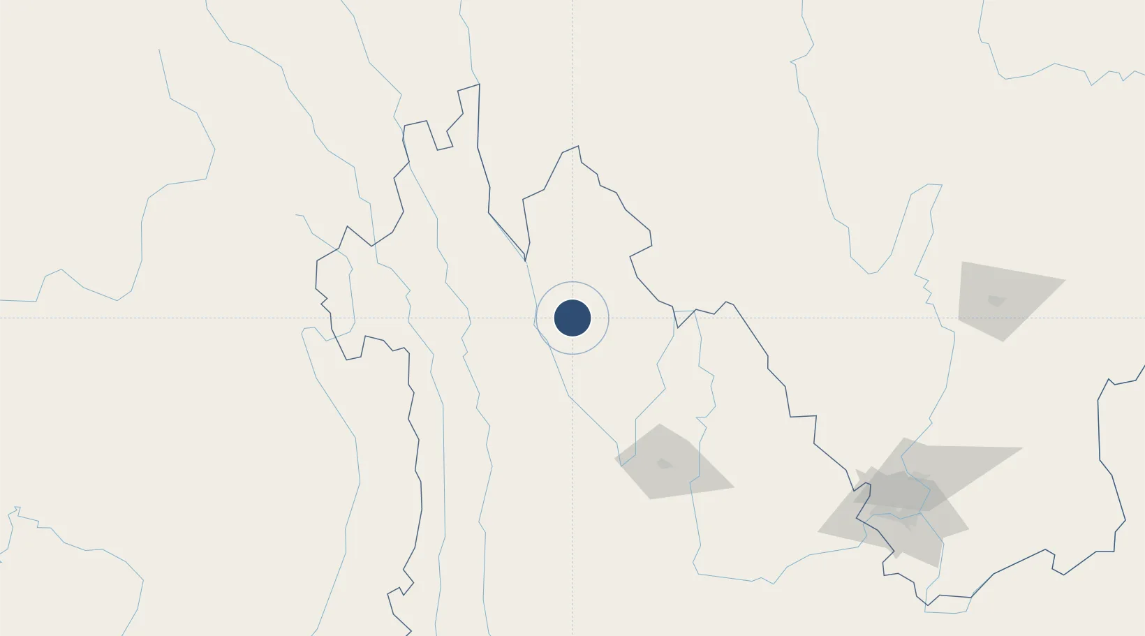
27.7936°, 99.6772°
11,647 ft
Longest runway
1
Runways
10,761 ft
Elevation
Runway & Layout

Runways · 1
| Runway | Dimensions | Surface | True heading | Lit |
|---|---|---|---|---|
| 16/34 | 11,647 × —ft | Asphalt | — | ✓ |
Airport Specifications
IATA code
DIG
ICAO code
ZPDQ
Airport class
Medium airport
Scheduled service
Yes
Runway surface
Asphalt
Served city
Diqing (Shangri-La)
Location
Nearby Logistics Neighbours
Airports
- 1Ninglang Luguhu Airport110 km
- 2Lijiang Sanyi International Airport136 km
- 3Daocheng Yading Airport173 km
- 4Putao Airport228 km
- 5Dali Fengyi Airport247 km
Cities
- 1Panzhihuazhan244 km
- 2Vietnam Lee & Man Port412 km
- 3Anning426 km
- 4Leshan444 km
- 5Yunnan Tengjun International Land Port Logistics Center448 km
Ports
- 1Chittagong998 km
- 2Hai Phong1043 km
- 3Hon Gai1067 km
- 4Cam Pha1082 km
- 5Sittwe1095 km
DatabookThe Record of Consolidated Knowledge
China beyond logistics?