Medium airport · Myanmar (Burma)

Nampong Air BaseVYNP
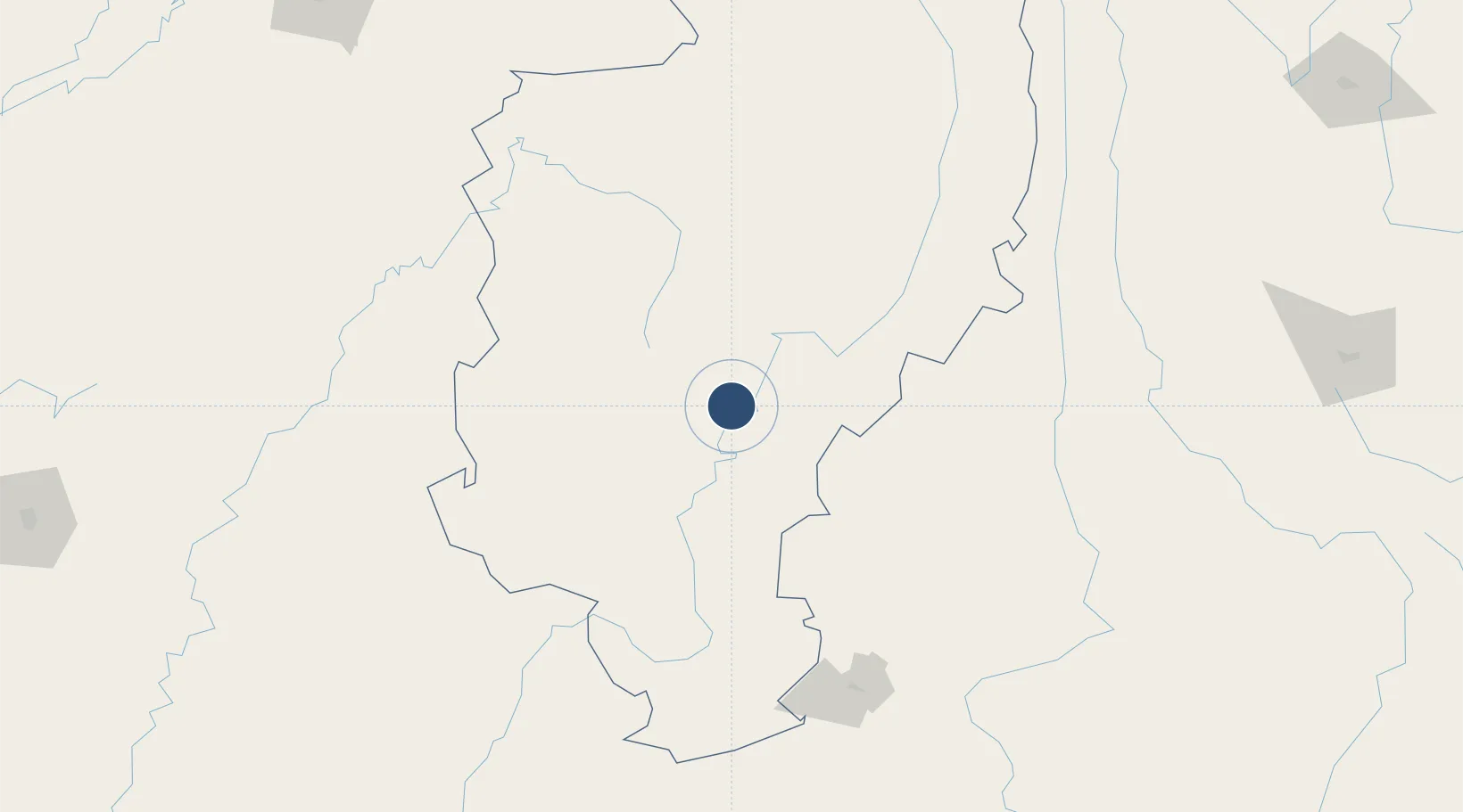
25.3544°, 97.2952°
11,025 ft
Longest runway
1
Runways
459 ft
Elevation

Runway & Layout

Nampong Air Base runway & taxiway layout
Runway & taxiway layout — OpenStreetMap (ODbL) / OurAirports

Radio Frequencies

TWR
118.7 MHz
APP
119.7 MHz
OurAirports

Navaids

MKA NDB Myitkyina West 410 kHz
OurAirports

Runways · 1

RunwayDimensions SurfaceTrue headingLit
18/36 11,025 × 190ft Asphalt 180°
OurAirports

Airport Specifications

ICAO code
VYNP
OurAirports
Airport class
Medium airport
OurAirports
Scheduled service
No
OurAirports
Runway surface
Asphalt
OurAirports
Served city
Myitkyina
OurAirports

Location

Location of VYNP
Natural Earth 10m (public domain) · Kachin · VYNP · 25.35, 97.30GoogleOSMYandex

Nearby Logistics Neighbours

Airports
  1. 1Myitkyina Airport7 km
  2. 2Banmaw Airport121 km
  3. 3Tengchong Tuofeng Airport129 km
  4. 4Dehong Mangshi International Airport164 km
  5. 5Kanti Airport177 km
Nearest neighbours — logibook spatial index (haversine) over the source coordinates
Cities
  1. 1Myit Nge407 km
  2. 2Jomotshangkha452 km
  3. 3Panzhihuazhan462 km
  4. 4Simao469 km
  5. 5Jinghong515 km
Nearest neighbours — logibook spatial index (haversine) over the source coordinates
Ports
  1. 1Chittagong652 km
  2. 2Sittwe735 km
  3. 3Mongla845 km
  4. 4Rangoon962 km
  5. 5Calcutta962 km
Nearest neighbours — logibook spatial index (haversine) over the source coordinates
Trade Zones
  1. 1Tengchong Economic Development Zone126 km
  2. 2Yunlong Industrial Park190 km
  3. 3Yongping County Bonan Industrial (Logistics) Park: Dali Prefecture226 km
  4. 4Yangbi Walnut Industrial Park: Dali Prefecture259 km
  5. 5Lincang Industrial Park326 km
Nearest neighbours — logibook spatial index (haversine) over the source coordinates
DatabookThe Record of Consolidated Knowledge
Myanmar (Burma) beyond logistics?
Browse databook

All Sources

AirportsOurAirports
Public domain
Portsthe NGA World Port Index
Public domain (US gov)
LocationsUN/LOCODE
UN/LOCODE — free
Trade Zonesthe World Bank SEZ database
CC BY 4.0
Trade ZonesOpen Zone Map
CC BY
InfrastructureOpenStreetMap
ODbL 1.0
← Myanmar (Burma) airports