Free Trade Zone · China
International Airport Economic Zone, Gucheng District, Lijiang City Active
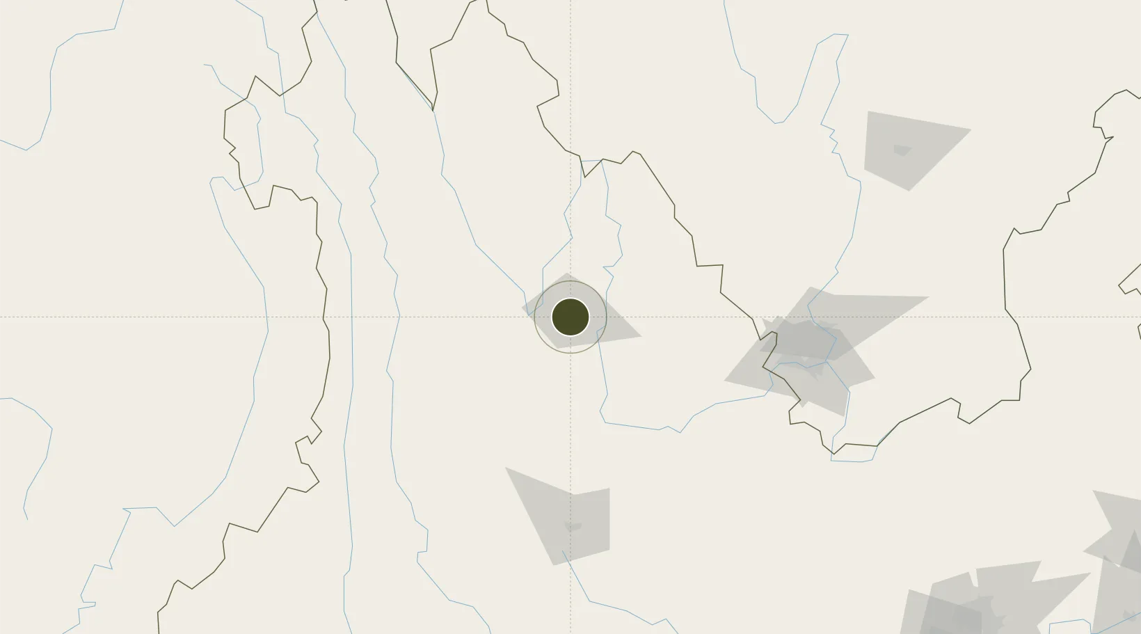
26.8761°, 100.2331°
730 ha
Zone area
931.9 km
Nearest port
22.1 km
Nearest airport
Gateway access
Zone profile
Zone type
Free Trade Zone
Region
Yunnan
Status
Active
Management
Public
Operator
International Airport Economic Zone Management Committee
Legal framework
"Implementation Plan for Promoting the Sustainable Development of the Specialized Zone (Aviation) Market of
Lijiang Airport" Lijiang Municipal People's Government 2019. Yunnan
Provincial Committee of the Communist Party of China, Yunnan Provincial
People'
Location
Nearby Logistics Neighbours
Ports
- 1Hai Phong932 km
- 2Hon Gai957 km
- 3Cam Pha973 km
- 4Chittagong990 km
- 5Fang-Cheng1000 km
Airports
- 1Lijiang Sanyi International Airport22 km
- 2Ninglang Luguhu Airport90 km
- 3Diqing Shangri-La Airport116 km
- 4Dali Fengyi Airport137 km
- 5Panzhihua Bao'anying Airport160 km
Cities
- 1Panzhihuazhan151 km
- 2Anning315 km
- 3Yunnan Tengjun International Land Port Logistics Center336 km
- 4Yuxi362 km
- 5Qujing387 km
DatabookThe Record of Consolidated Knowledge
China beyond logistics?