Export Processing Zone · China
Yangbi Walnut Industrial Park: Dali Prefecture Active
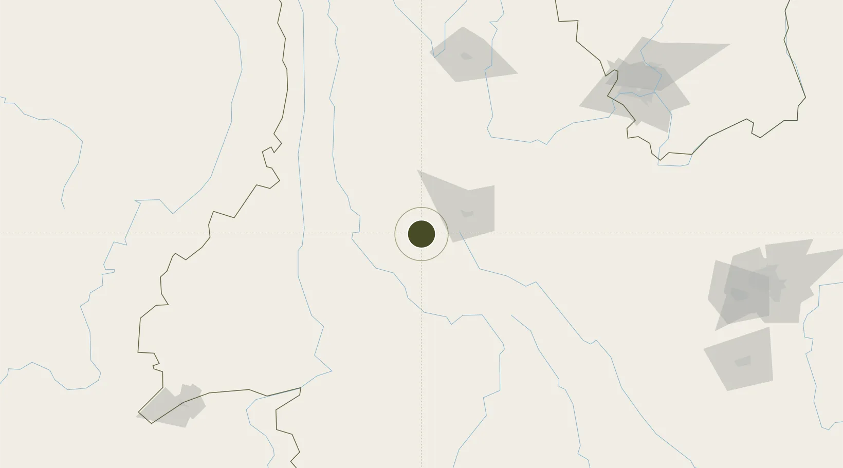
25.4221°, 99.8681°
34,429 ha
Zone area
857.8 km
Nearest port
51.8 km
Nearest airport
Gateway access
Zone profile
Zone type
Export Processing Zone
Region
Yunnan
Status
Active
Management
Public
Operator
Yangbi Yi Autonomous County
Legal framework
"Yangbi Yi Autonomous County's Several Policies and Regulations on Investment Promotion," Yang Banfa [2018] No. 34, Yunnan Provincial Committee of the Communist Party of China, Yunnan Provincial People's Government: Decision on Accelerating the Constructi
Location
Nearby Logistics Neighbours
Ports
- 1Hai Phong858 km
- 2Hon Gai888 km
- 3Chittagong888 km
- 4Cam Pha908 km
- 5Sittwe925 km
Airports
- 1Dali Fengyi Airport52 km
- 2Baoshan Yunrui Airport82 km
- 3Xiangyun Midu Air Base87 km
- 4Lijiang Sanyi International Airport145 km
- 5Tengchong Tuofeng Airport149 km
Cities
- 1Panzhihuazhan224 km
- 2Anning270 km
- 3Yunnan Tengjun International Land Port Logistics Center285 km
- 4Yuxi293 km
- 5Simao312 km
DatabookThe Record of Consolidated Knowledge
China beyond logistics?