Runway & Layout

Navaids
KI NDB Kanti 230 kHz
Airport Specifications
IATA code
KHM
ICAO code
VYKI
Airport class
Small airport
Scheduled service
Yes
Served city
Kanti
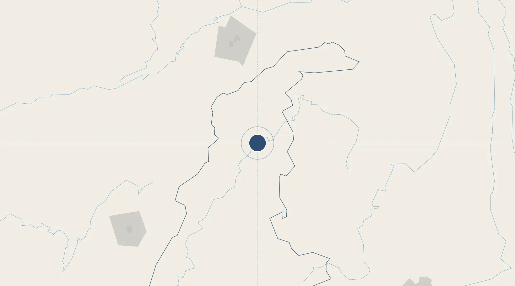
Location
Nearby Logistics Neighbours
Airports
- 1Jorhat Airport171 km
- 2Nampong Air Base177 km
- 3Dibrugarh Airport179 km
- 4Myitkyina Airport181 km
- 5Dimapur Airport191 km
Cities
- 1Jomotshangkha275 km
- 2Amingaon (Gauhati)399 km
- 3Phuntsho Raptenling422 km
- 4Samdrup Jongkhar425 km
- 5Moulvi Bazar426 km
Ports
- 1Chittagong566 km
- 2Sittwe710 km
- 3Mongla730 km
- 4Calcutta836 km
- 5Haldia Port888 km
DatabookThe Record of Consolidated Knowledge
Myanmar (Burma) beyond logistics?