UN/LOCODE hub · China
CNANN

Anning

24.9000°, 102.4833°
106,795
Population
2
Transport functions

Transport Functions

Rail
Road
UN/LOCODE

Hub Profile

Place type
District seat
GeoNames
Region
Yunnan
GeoNames
Population
106,795
GeoNames
Time zone
Asia/Shanghai
GeoNames
Elevation
1,836 m
GeoNames

Location

Location of CNANN
Natural Earth 10m (public domain) · Yunnan · CNANN · 24.90, 102.48GoogleOSMYandex

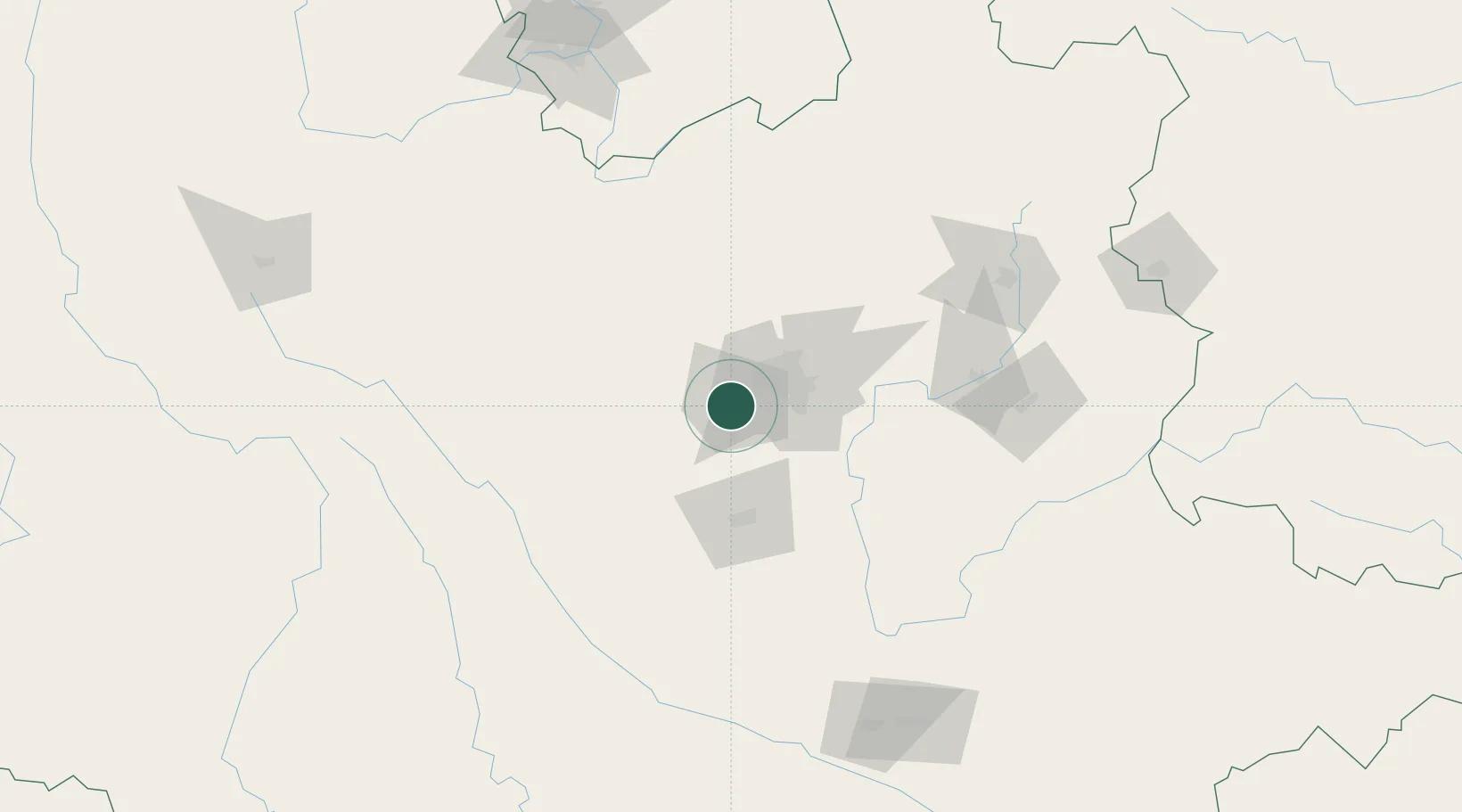
Nearby Logistics Neighbours

Cities
  1. 1Yunnan Tengjun International Land Port Logistics Center23 km
  2. 2Yuxi61 km
  3. 3Qujing146 km
  4. 4Panzhihuazhan201 km
  5. 5Wenshan247 km
Nearest neighbours — logibook spatial index (haversine) over the source coordinates
Ports
  1. 1Hai Phong617 km
  2. 2Hon Gai643 km
  3. 3Cam Pha659 km
  4. 4Fang-Cheng694 km
  5. 5Qinzhou715 km
Nearest neighbours — logibook spatial index (haversine) over the source coordinates
Airports
  1. 1Kunming Changshui International Airport51 km
  2. 2Yuanmou Air Base111 km
  3. 3Luliang Air Base117 km
  4. 4Xiangyun Midu Air Base186 km
  5. 5Honghe Mengzi Airport / Mengzi Air Base188 km
Nearest neighbours — logibook spatial index (haversine) over the source coordinates
Trade Zones
  1. 1Wuhua Science and Technology Industrial Park28 km
  2. 2New Material Photovoltaic Industrial Park28 km
  3. 3Wuding Industrial Park60 km
  4. 4Yuxi Economic Development Zone64 km
  5. 5Mouding Industrial Park: Chuxiong Prefecture98 km
Nearest neighbours — logibook spatial index (haversine) over the source coordinates
DatabookThe Record of Consolidated Knowledge
China beyond logistics?
Browse databook

All Sources

LocationsUN/LOCODE
UN/LOCODE — free
LocationsGeoNames
CC BY 4.0
Portsthe NGA World Port Index
Public domain (US gov)
AirportsOurAirports
Public domain
Trade Zonesthe World Bank SEZ database
CC BY 4.0
Trade ZonesOpen Zone Map
CC BY
← China locations