Medium airport · Myanmar (Burma)

Myitkyina AirportVYMK
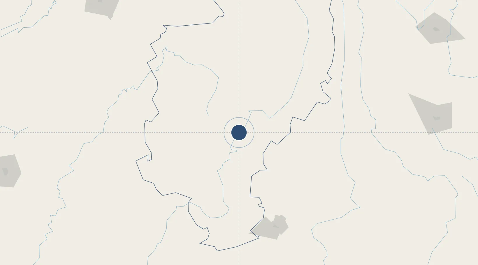
25.3836°, 97.3519°
6,100 ft
Longest runway
1
Runways
475 ft
Elevation

Runway & Layout

Myitkyina Airport runway & taxiway layout
Runway & taxiway layout — OpenStreetMap (ODbL) / OurAirports

Radio Frequencies

TWR
118.7 MHz
APP
119.7 MHz
OurAirports

Navaids

MK NDB Myitkyina 275 kHz
OurAirports

Runways · 1

RunwayDimensions SurfaceTrue headingLit
04/22 6,100 × 100ft Bitumen 038°
OurAirports

Airport Specifications

IATA code
MYT
OurAirports
ICAO code
VYMK
OurAirports
Airport class
Medium airport
OurAirports
Scheduled service
Yes
OurAirports
Runway surface
Bitumen
OurAirports
Served city
Myitkyina
OurAirports

Location

Location of VYMK
Natural Earth 10m (public domain) · Kachin · VYMK · 25.38, 97.35GoogleOSMYandex

Nearby Logistics Neighbours

Airports
  1. 1Nampong Air Base7 km
  2. 2Banmaw Airport124 km
  3. 3Tengchong Tuofeng Airport124 km
  4. 4Dehong Mangshi International Airport162 km
  5. 5Kanti Airport181 km
Nearest neighbours — logibook spatial index (haversine) over the source coordinates
Cities
  1. 1Myit Nge412 km
  2. 2Panzhihuazhan456 km
  3. 3Jomotshangkha456 km
  4. 4Simao466 km
  5. 5Jinghong513 km
Nearest neighbours — logibook spatial index (haversine) over the source coordinates
Ports
  1. 1Chittagong658 km
  2. 2Sittwe741 km
  3. 3Mongla852 km
  4. 4Rangoon966 km
  5. 5Calcutta969 km
Nearest neighbours — logibook spatial index (haversine) over the source coordinates
Trade Zones
  1. 1Tengchong Economic Development Zone121 km
  2. 2Yunlong Industrial Park183 km
  3. 3Yongping County Bonan Industrial (Logistics) Park: Dali Prefecture220 km
  4. 4Yangbi Walnut Industrial Park: Dali Prefecture253 km
  5. 5Nanjian Industrial Park322 km
Nearest neighbours — logibook spatial index (haversine) over the source coordinates
DatabookThe Record of Consolidated Knowledge
Myanmar (Burma) beyond logistics?
Browse databook

All Sources

AirportsOurAirports
Public domain
Portsthe NGA World Port Index
Public domain (US gov)
LocationsUN/LOCODE
UN/LOCODE — free
Trade Zonesthe World Bank SEZ database
CC BY 4.0
Trade ZonesOpen Zone Map
CC BY
InfrastructureOpenStreetMap
ODbL 1.0
← Myanmar (Burma) airports