Runway & Layout

Airport Specifications
ICAO code
VNSL
Airport class
Small airport
Scheduled service
Yes
Served city
Musikot
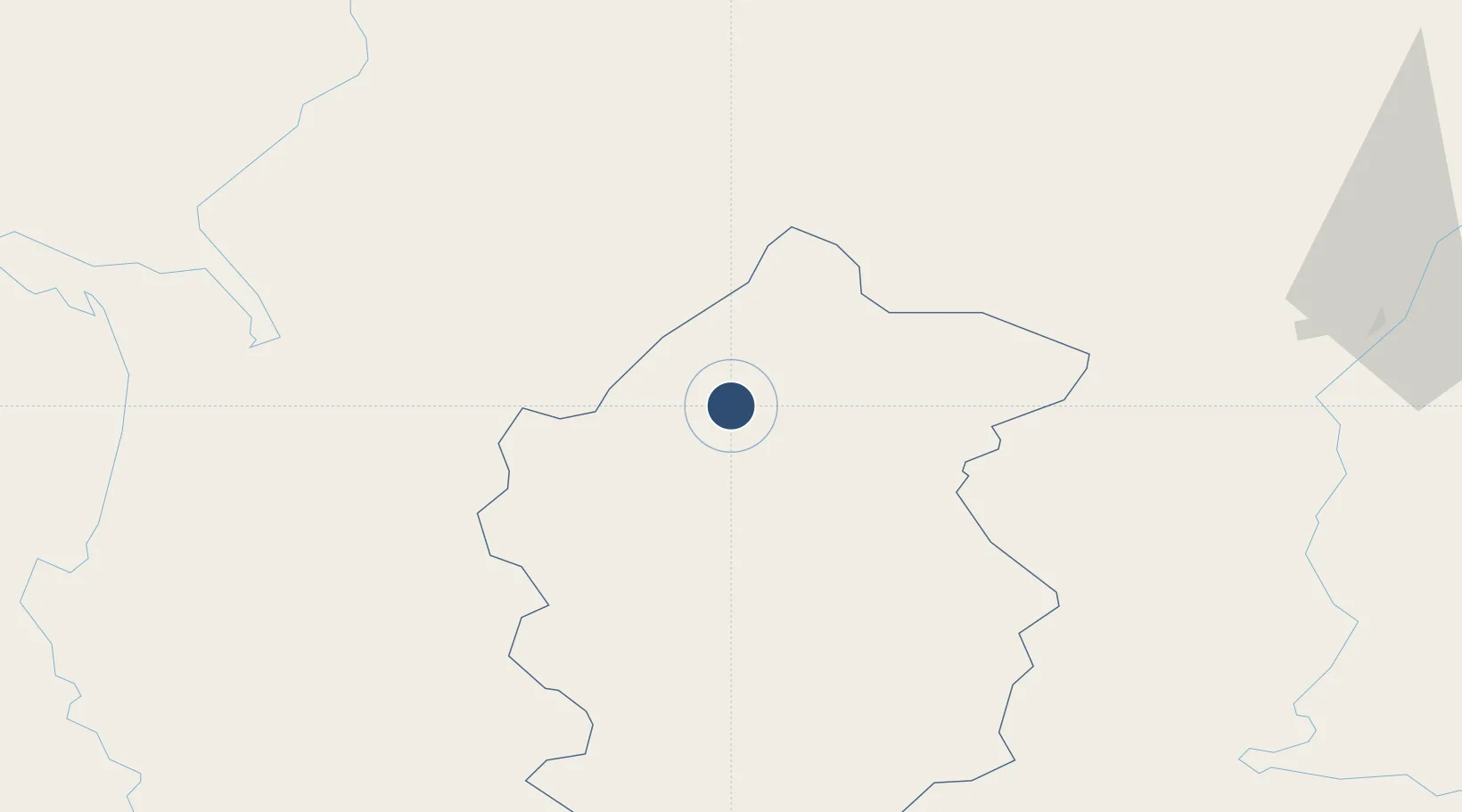
Location
Nearby Logistics Neighbours
Airports
- 1Dolpa Airport53 km
- 2Jumla Airport75 km
- 3Surkhet Airport80 km
- 4Nepalgunj Airport97 km
- 5Jomsom Airport125 km
Cities
- 1Bhairahawa160 km
- 2Nawalparasi171 km
- 3Triveni194 km
- 4Gorakhpur228 km
- 5Sikta Lcs240 km
Ports
- 1Calcutta898 km
- 2Haldia Port928 km
- 3Dhamra982 km
- 4Mongla992 km
- 5Paradip1024 km
Trade Zones
DatabookThe Record of Consolidated Knowledge
Nepal beyond logistics?