Small airport · Nepal
Jumla AirportVNJL
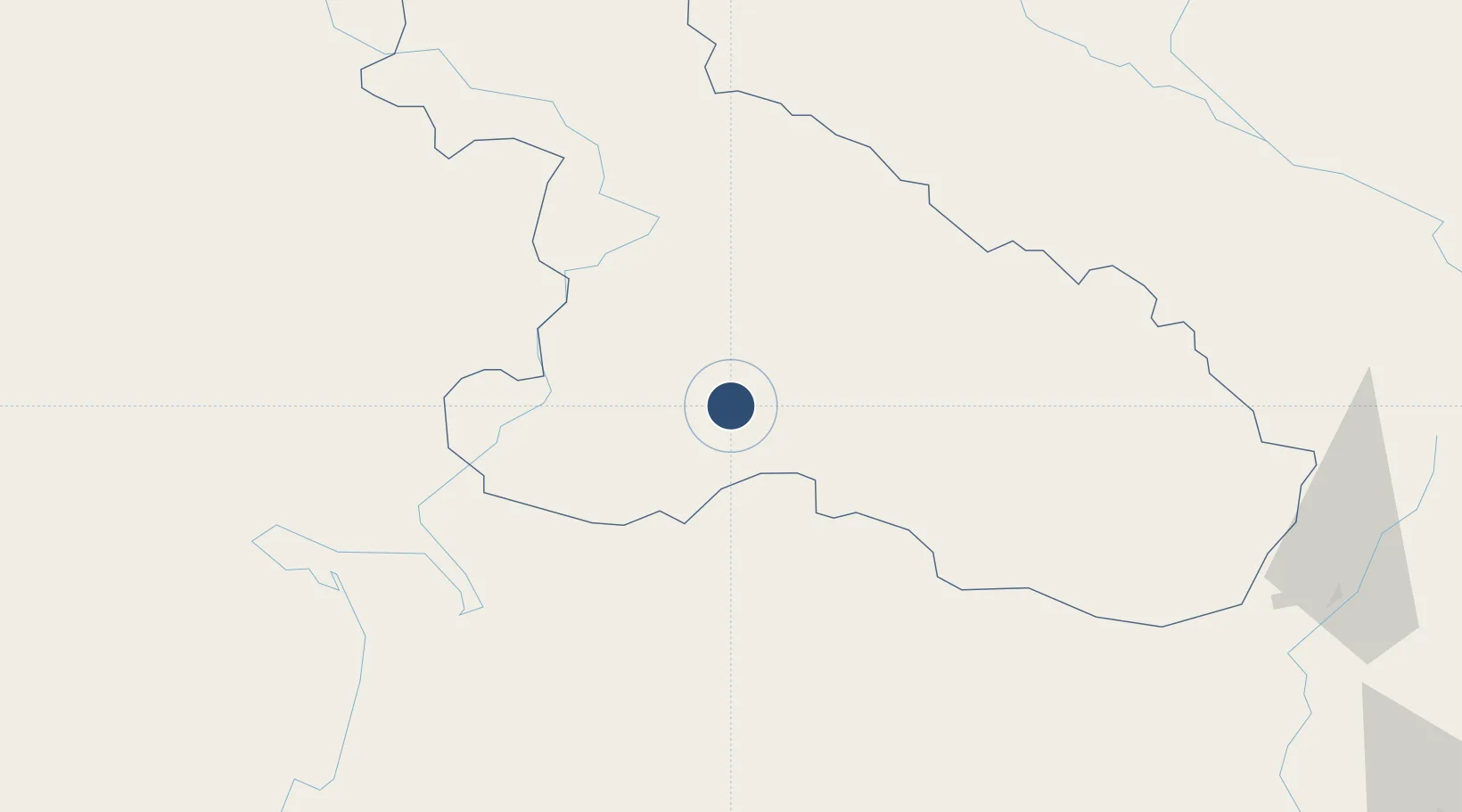
29.2742°, 82.1933°
2,165 ft
Longest runway
1
Runways
7,700 ft
Elevation
Runway & Layout

Navaids
JLA NDB Jumla 242 kHz
Runways · 1
| Runway | Dimensions | Surface | True heading | Lit |
|---|---|---|---|---|
| 09/27 | 2,165 × 82ft | Asphalt | — | — |
Airport Specifications
IATA code
JUM
ICAO code
VNJL
Airport class
Small airport
Scheduled service
Yes
Runway surface
Asphalt
Served city
Jumla
Location
Nearby Logistics Neighbours
Airports
- 1Dolpa Airport69 km
- 2Rukum Salle Airport75 km
- 3Simikot Airport86 km
- 4Surkhet Airport94 km
- 5Silgadi Doti Airport122 km
Cities
- 1Bhairahawa232 km
- 2Nawalparasi241 km
- 3Sitarganj245 km
- 4Sidcul Icd/Pantnagar261 km
- 5Triveni263 km
Ports
- 1Calcutta967 km
- 2Haldia Port1000 km
- 3Dhamra1056 km
- 4Mongla1059 km
- 5Paradip1099 km
Trade Zones
DatabookThe Record of Consolidated Knowledge
Nepal beyond logistics?