Medium airport · Nepal

Nepalgunj AirportVNNG
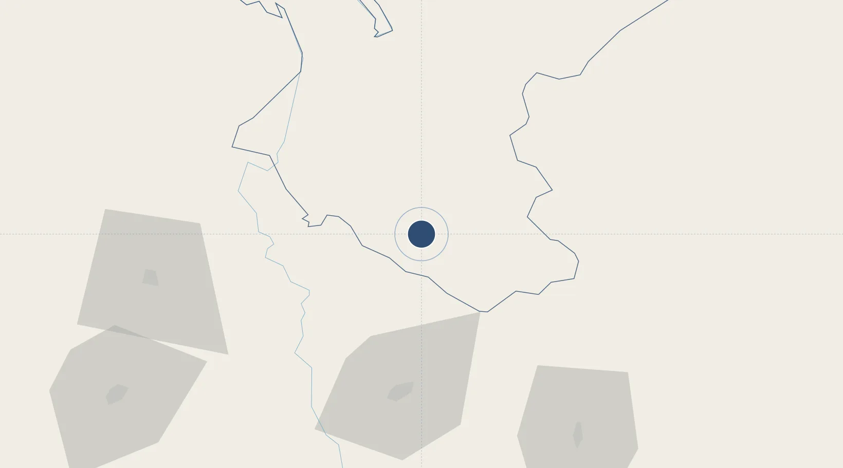
28.1036°, 81.6670°
4,935 ft
Longest runway
1
Runways
540 ft
Elevation

Runway & Layout

Nepalgunj Airport runway & taxiway layout
Runway & taxiway layout — OpenStreetMap (ODbL) / OurAirports

Radio Frequencies

TWR
118.3 MHz
OurAirports

Navaids

NGJ VOR-DME Nepalgunj 115.10 MHz
NPJ NDB Nepalgunj 330 kHz
OurAirports

Runways · 1

RunwayDimensions SurfaceTrue headingLit
08/26 4,935 × 100ft Asphalt 081°
OurAirports

Airport Specifications

IATA code
KEP
OurAirports
ICAO code
VNNG
OurAirports
Airport class
Medium airport
OurAirports
Scheduled service
Yes
OurAirports
Runway surface
Asphalt
OurAirports
Served city
Nepalgunj
OurAirports

Location

Location of VNNG
Natural Earth 10m (public domain) · Bheri · VNNG · 28.10, 81.67GoogleOSMYandex

Nearby Logistics Neighbours

Airports
  1. 1Surkhet Airport54 km
  2. 2Shravasti Airport76 km
  3. 3Rukum Salle Airport97 km
  4. 4Jumla Airport140 km
  5. 5Silgadi Doti Airport147 km
Nearest neighbours — logibook spatial index (haversine) over the source coordinates
Cities
  1. 1HCL SEZ/Lucknow160 km
  2. 2Bhairahawa188 km
  3. 3Nawalparasi207 km
  4. 4Sitarganj213 km
  5. 5Gorakhpur224 km
Nearest neighbours — logibook spatial index (haversine) over the source coordinates
Ports
  1. 1Calcutta911 km
  2. 2Haldia Port936 km
  3. 3Dhamra971 km
  4. 4Paradip1009 km
  5. 5Mongla1014 km
Nearest neighbours — logibook spatial index (haversine) over the source coordinates
Trade Zones
  1. 1Nepalgunj Special Economic Zone17 km
  2. 2Jumla Special Economic Zone148 km
  3. 3UP Electronics Corporation Limited157 km
  4. 4Bhairahawa Special Economic Zone190 km
  5. 5Kaspilvastu Special Economic Zone284 km
Nearest neighbours — logibook spatial index (haversine) over the source coordinates
DatabookThe Record of Consolidated Knowledge
Nepal beyond logistics?
Browse databook

All Sources

AirportsOurAirports
Public domain
Portsthe NGA World Port Index
Public domain (US gov)
LocationsUN/LOCODE
UN/LOCODE — free
Trade Zonesthe World Bank SEZ database
CC BY 4.0
Trade ZonesOpen Zone Map
CC BY
InfrastructureOpenStreetMap
ODbL 1.0
← Nepal airports