UN/LOCODE hub · India
INHDD

Sidcul Icd/Pantnagar

29.0500°, 79.5167°
1
Transport functions

Transport Functions

Multimodal
UN/LOCODE

Hub Profile

Region
UT
GeoNames

Location

Location of INHDD
Natural Earth 10m (public domain) · UT · INHDD · 29.05, 79.52GoogleOSMYandex

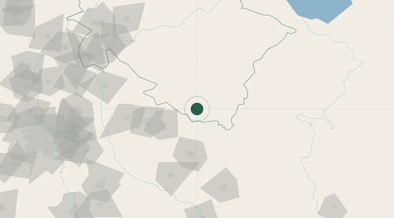
Nearby Logistics Neighbours

Cities
  1. 1Rudrapur11 km
  2. 2Sitarganj22 km
  3. 3Sandkhera ICD/Kashipur59 km
  4. 4Moradabad72 km
  5. 5Bilari85 km
Nearest neighbours — logibook spatial index (haversine) over the source coordinates
Ports
  1. 1Dahej1077 km
  2. 2Bhavnagar1091 km
  3. 3Magdalla1111 km
  4. 4Hazira1124 km
  5. 5Navlakhi1131 km
Nearest neighbours — logibook spatial index (haversine) over the source coordinates
Airports
  1. 1Pantnagar Airport5 km
  2. 2Moradabad Airport63 km
  3. 3Bareilly Air Force Station70 km
  4. 4Silgadi Doti Airport140 km
  5. 5Dehradun Jolly Grant Airport181 km
Nearest neighbours — logibook spatial index (haversine) over the source coordinates
Trade Zones
  1. 1Moradabad Special Economic Zone86 km
  2. 2Moser Baer SEZ, Greater Noida208 km
  3. 3Vedanta Aluminium Limited208 km
  4. 4Anant Raj Industries, IT Park Rai214 km
  5. 5Noida Special Economic Zone214 km
Nearest neighbours — logibook spatial index (haversine) over the source coordinates
DatabookThe Record of Consolidated Knowledge
India beyond logistics?
Browse databook

All Sources

LocationsUN/LOCODE
UN/LOCODE — free
Portsthe NGA World Port Index
Public domain (US gov)
AirportsOurAirports
Public domain
Trade Zonesthe World Bank SEZ database
CC BY 4.0
Trade ZonesOpen Zone Map
CC BY
← India locations