Transport Functions
Multimodal
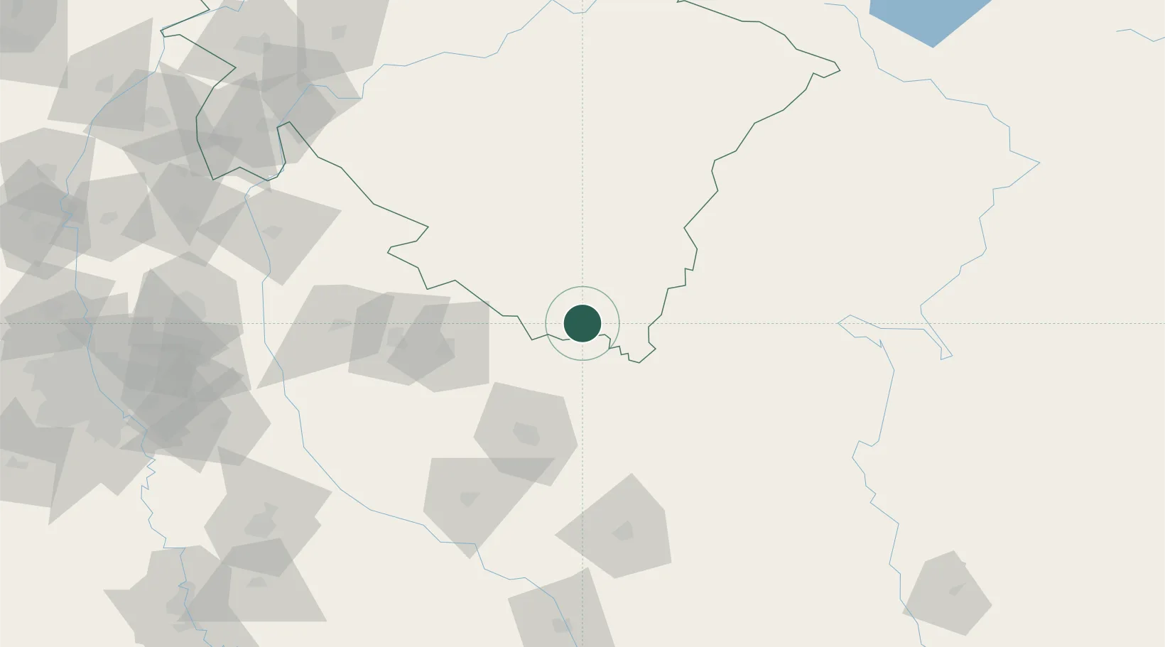
Hub Profile
Place type
Populated place
Region
Uttarakhand
Population
24,225
Time zone
Asia/Kolkata
Elevation
219 m
Location
Nearby Logistics Neighbours
Cities
- 1Sidcul Icd/Pantnagar22 km
- 2Rudrapur31 km
- 3Sandkhera ICD/Kashipur80 km
- 4Moradabad88 km
- 5Bilari95 km
Airports
- 1Pantnagar Airport25 km
- 2Bareilly Air Force Station62 km
- 3Moradabad Airport77 km
- 4Silgadi Doti Airport126 km
- 5Surkhet Airport193 km
Trade Zones
DatabookThe Record of Consolidated Knowledge
India beyond logistics?