Runway & Layout

Airport Specifications
IATA code
IMK
ICAO code
VNST
Airport class
Small airport
Scheduled service
Yes
Served city
Simikot
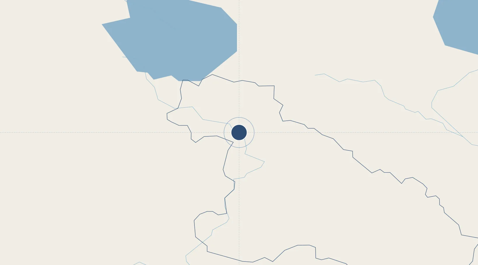
Location
Nearby Logistics Neighbours
Airports
- 1Ali Pulan Airport81 km
- 2Jumla Airport86 km
- 3Silgadi Doti Airport116 km
- 4Dolpa Airport146 km
- 5Surkhet Airport155 km
Cities
- 1Sitarganj235 km
- 2Sidcul Icd/Pantnagar245 km
- 3Rudrapur256 km
- 4Sandkhera ICD/Kashipur292 km
- 5Moradabad316 km
Ports
- 1Calcutta1050 km
- 2Haldia Port1083 km
- 3Mongla1139 km
- 4Dhamra1141 km
- 5Paradip1185 km
Trade Zones
DatabookThe Record of Consolidated Knowledge
Nepal beyond logistics?