Runway & Layout

Airport Specifications
IATA code
SIH
ICAO code
VNDT
Airport class
Small airport
Scheduled service
Yes
Served city
Silgadi Doti
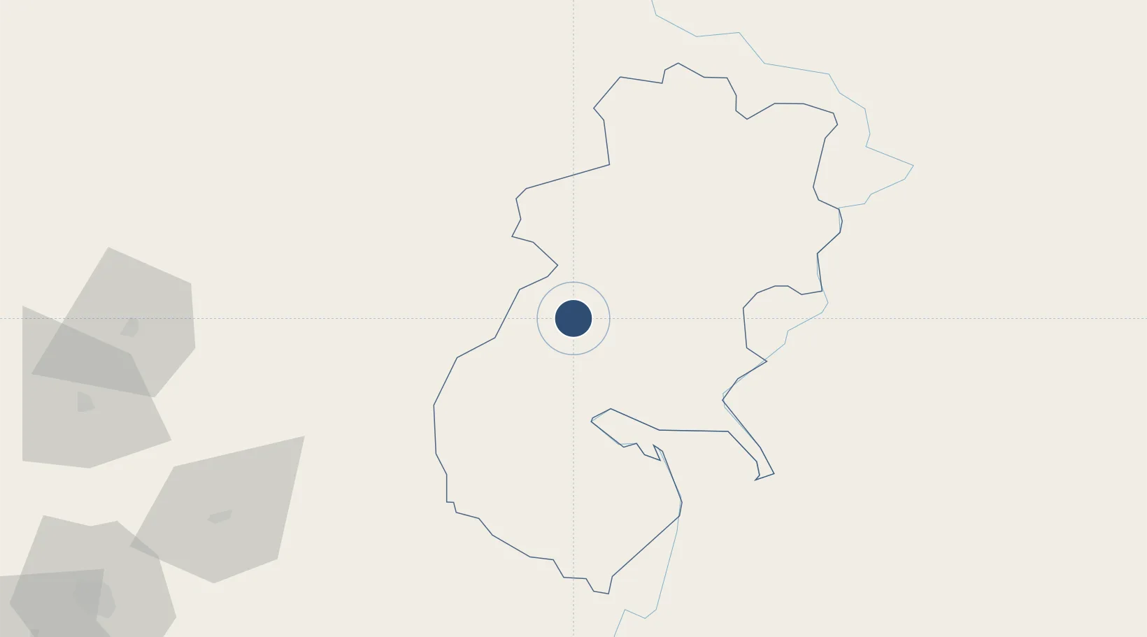
Location
Nearby Logistics Neighbours
Airports
- 1Surkhet Airport102 km
- 2Simikot Airport116 km
- 3Jumla Airport122 km
- 4Ali Pulan Airport128 km
- 5Pantnagar Airport144 km
Cities
- 1Sitarganj126 km
- 2Sidcul Icd/Pantnagar140 km
- 3Rudrapur151 km
- 4Sandkhera ICD/Kashipur194 km
- 5Moradabad211 km
Ports
- 1Calcutta1050 km
- 2Haldia Port1078 km
- 3Dhamra1118 km
- 4Mongla1149 km
- 5Paradip1156 km
Trade Zones
DatabookThe Record of Consolidated Knowledge
Nepal beyond logistics?