Large airport · India

Chaudhary Charan Singh International AirportVILK

26.7606°, 80.8893°
8,996 ft
Longest runway
1
Runways
410 ft
Elevation

Runway & Layout

Chaudhary Charan Singh International Airport runway & taxiway layout
Runway & taxiway layout — OpenStreetMap (ODbL) / OurAirports

Radio Frequencies

ATIS
126.8 MHz
TWR
118.6 MHz
GND
120.45 MHz
APP
120.45 MHz
OurAirports

Navaids

LLK VOR-DME Lucknow 113.10 MHz
OurAirports

Runways · 1

RunwayDimensions SurfaceTrue headingLit
09/27 8,996 × 148ft Asphalt / concrete 089°
OurAirports

Airport Specifications

IATA code
LKO
OurAirports
ICAO code
VILK
OurAirports
Airport class
Large airport
OurAirports
Scheduled service
Yes
OurAirports
Runway surface
Asphalt / concrete
OurAirports
Served city
Lucknow
OurAirports

Location

Location of VILK
Natural Earth 10m (public domain) · Uttar Pradesh · VILK · 26.76, 80.89GoogleOSMYandex

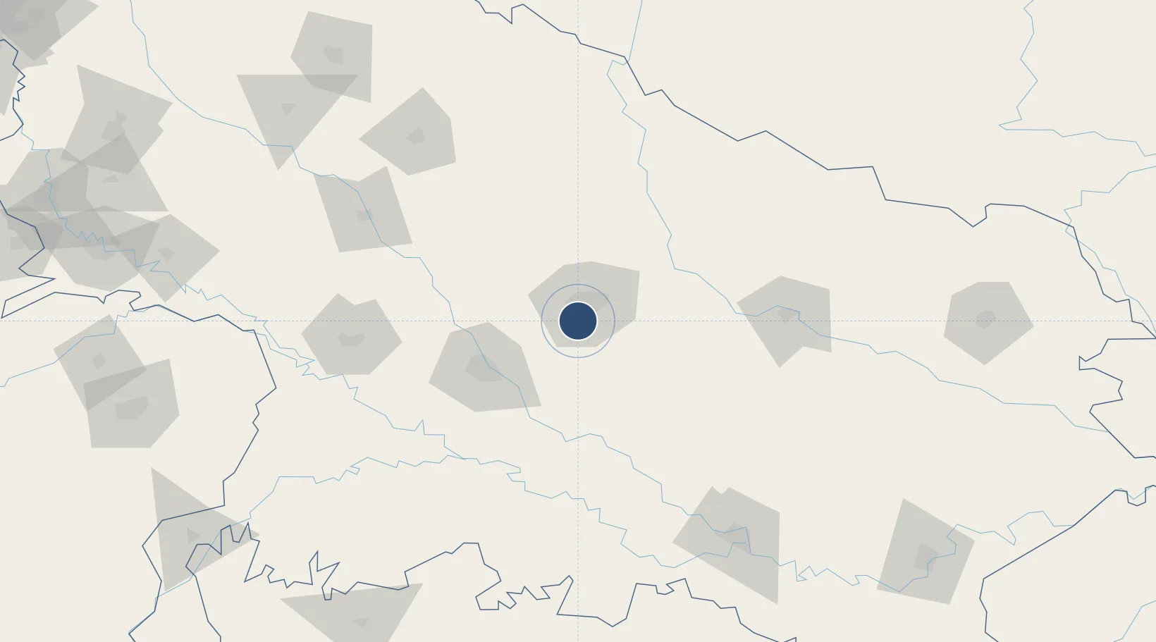
Nearby Logistics Neighbours

Airports
  1. 1Kanpur Airport62 km
  2. 2Maharshi Valmiki International Airport127 km
  3. 3Sultanpur Airport128 km
  4. 4Shravasti Airport140 km
  5. 5Nepalgunj Airport168 km
Nearest neighbours — logibook spatial index (haversine) over the source coordinates
Cities
  1. 1HCL SEZ/Lucknow8 km
  2. 2Kanpur68 km
  3. 3Klppl-ICD/Panki74 km
  4. 4Madhosingh/Allahabad175 km
  5. 5Kakarahawa Lcs181 km
Nearest neighbours — logibook spatial index (haversine) over the source coordinates
Ports
  1. 1Calcutta886 km
  2. 2Haldia Port899 km
  3. 3Dhamra905 km
  4. 4Gopalpur928 km
  5. 5Paradip933 km
Nearest neighbours — logibook spatial index (haversine) over the source coordinates
Trade Zones
  1. 1UP Electronics Corporation Limited11 km
  2. 2Nepalgunj Special Economic Zone182 km
  3. 3Bhairahawa Special Economic Zone268 km
  4. 4Moradabad Special Economic Zone311 km
  5. 5Jumla Special Economic Zone313 km
Nearest neighbours — logibook spatial index (haversine) over the source coordinates
DatabookThe Record of Consolidated Knowledge
India beyond logistics?
Browse databook

All Sources

AirportsOurAirports
Public domain
Portsthe NGA World Port Index
Public domain (US gov)
LocationsUN/LOCODE
UN/LOCODE — free
Trade Zonesthe World Bank SEZ database
CC BY 4.0
Trade ZonesOpen Zone Map
CC BY
InfrastructureOpenStreetMap
ODbL 1.0
← India airports