Seaport · Iran

Bandar AbbasIRBND

27.1500°, 56.2000°
13.5 m
Channel depth
126.0
Port liner connectivity
Bandar Abbas is also a UN/LOCODE logistics hub →

Channel & Berth Profile

SEA LEVEL (CD)CHANNEL BEDChannel · 13.5 mOil terminal · 13.5 mCargo pier · 17.0 mAnchorage · 20.1 m
NGA World Port Index

Pilotage, Tugs & Services

Pilotage compulsoryYES
Pilotage availableYES
Pilotage advisableYES
Tug assistanceYES
Potable waterNO
Diesel bunkersYES
MedicalYES
Garbage disposalYES
NGA World Port Index

Facilities & Capabilities

ContainerYES
Ro-RoYES
Liquid bulkYES
Dry bulkYES
Oil terminalYES
Break bulkYES
Dry dock
RepairsNO
BunkeringYES
Rail link
Dangerous cargo
ISPS security
NGA World Port Index

Harbour Specifications

Harbour size
Medium
NGA World Port Index
Harbour type
Coastal (Breakwater)
NGA World Port Index
Shelter
Fair
NGA World Port Index
Water body
Strait of Hormuz; Indian Ocean
NGA World Port Index
Tidal range
3.7 m
NGA World Port Index
Overhead limit
Yes
NGA World Port Index
Pilotage
Yes
NGA World Port Index

Liner Connectivity

126
PLSCI

Port Liner Shipping Connectivity Index for Bandar Abbas, as published by UNCTAD for the latest available quarter. Higher values indicate stronger scheduled liner-shipping integration.

Shown relative to the highest per-port PLSCI in the dataset (1,657.9).
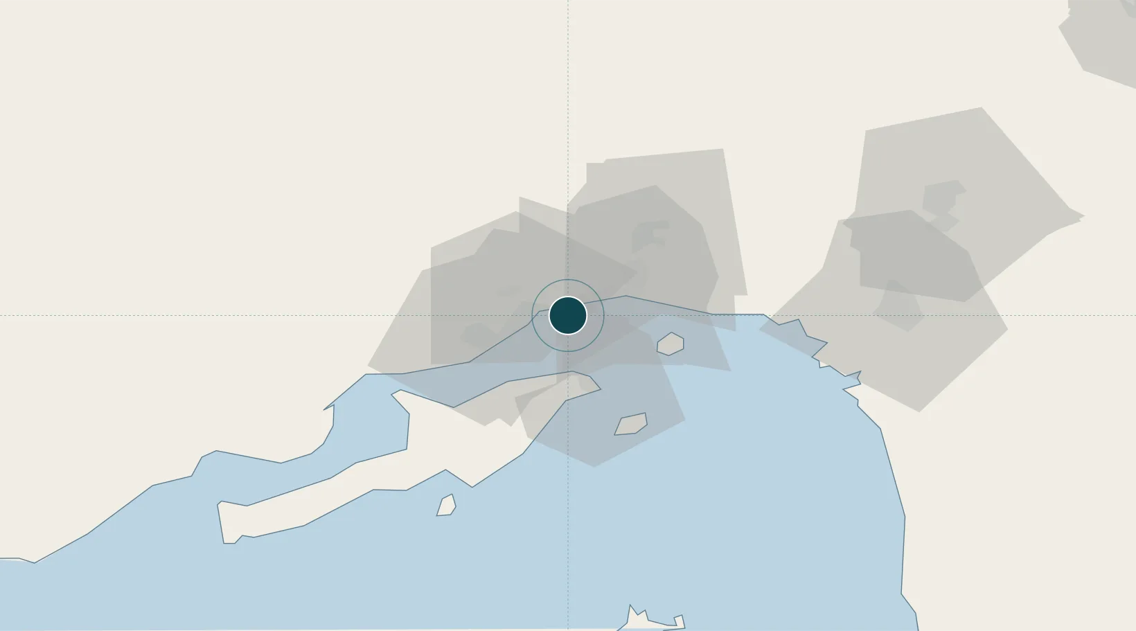
UNCTAD · Port Liner Shipping Connectivity Index

Location

Location of IRBND
Natural Earth 10m (public domain) · Hormozgan · IRBND · 27.15, 56.20GoogleOSMYandex

Nearby Logistics Neighbours

Ports
  1. 1Bandar-E Shahid Rejaie14 km
  2. 2Jazireh-Ye Hormoz25 km
  3. 3Khawr Khasab104 km
  4. 4Mina Saqr131 km
  5. 5Hulaylah Oil Terminal132 km
Nearest neighbours — logibook spatial index (haversine) over the source coordinates
Cities
  1. 1Shahid Bahonar2 km
  2. 2Shahid Rajaee Pt/Bandar Abbas14 km
  3. 3Kuvei30 km
  4. 4Quoin Island70 km
  5. 5Al Jeer Port125 km
Nearest neighbours — logibook spatial index (haversine) over the source coordinates
Airports
  1. 1Bandar Abbas International Airport19 km
  2. 2Qeshm International Airport53 km
  3. 3Khasab Airport109 km
  4. 4Oghab 44 Airbase120 km
  5. 5Bandar Lengeh International Airport153 km
Nearest neighbours — logibook spatial index (haversine) over the source coordinates
Trade Zones
  1. 1Special Economic Zone of the Persian Gulf Mining and Metal Industries10 km
  2. 2Shahid Rajaei Saheed Rajaee Port15 km
  3. 3Qeshm Free Trade - Industrial Zone23 km
  4. 4RAK Maritime City Free Zone135 km
  5. 5RAKEZ Academic Zone159 km
Nearest neighbours — logibook spatial index (haversine) over the source coordinates
DatabookThe Record of Consolidated Knowledge
Iran beyond logistics?
Browse databook

All Sources

Portsthe NGA World Port Index
Public domain (US gov)
Logistics performanceUNCTAD
CC BY 3.0 IGO
AirportsOurAirports
Public domain
LocationsUN/LOCODE
UN/LOCODE — free
Trade Zonesthe World Bank SEZ database
CC BY 4.0
Trade ZonesOpen Zone Map
CC BY
← Iran ports