Medium airport · Iran
Sarakhs AirportOIMC
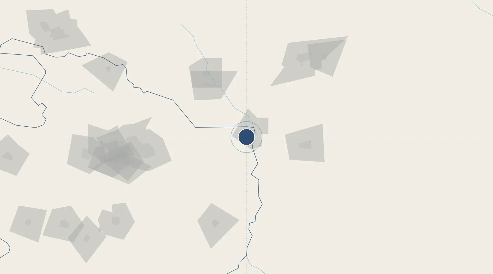
36.5012°, 61.0649°
13,076 ft
Longest runway
1
Runways
945 ft
Elevation
Runway & Layout

Navaids
SRS NDB Sarakhs 334 kHz
Runways · 1
| Runway | Dimensions | Surface | True heading | Lit |
|---|---|---|---|---|
| 14/32 | 13,076 × 148ft | Asphalt | 145° | — |
Airport Specifications
IATA code
CKT
ICAO code
OIMC
Airport class
Medium airport
Scheduled service
No
Runway surface
Asphalt
Served city
Sarakhs
Location
Nearby Logistics Neighbours
Airports
Ports
- 1Jazireh-Ye Hormoz1132 km
- 2Bandar Abbas1136 km
- 3Bandar-E Shahid Rejaie1147 km
- 4Khawr Khasab1232 km
- 5Bushehr1269 km
Trade Zones
DatabookThe Record of Consolidated Knowledge
Iran beyond logistics?