Transport Functions
Multimodal
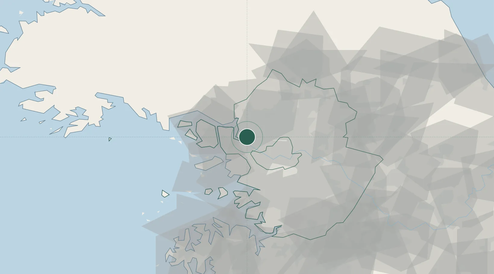
Hub Profile
Place type
Urban district
Region
Gyeonggi-do
Time zone
Asia/Seoul
Elevation
25 m
Location
Nearby Logistics Neighbours
Cities
- 1Goyang6 km
- 2Dorasan/Paju7 km
- 3Paju7 km
- 4Gimpo10 km
- 5Munsan/Paju19 km
Ports
- 1Inchon28 km
- 2Pyeongtaek Hang76 km
- 3Daesan Hang81 km
- 4Haeju Hang100 km
- 5Kyomip'o154 km
Airports
- 1Gimpo International Airport14 km
- 2Incheon International Airport37 km
- 3Seoul Air Base (K-16)40 km
- 4Suwon Airport54 km
- 5Osan Air Base70 km
DatabookThe Record of Consolidated Knowledge
South Korea beyond logistics?