Medium airport · South Korea

Camp Humphreys (A-511) Desiderio Army AirfieldRKSG
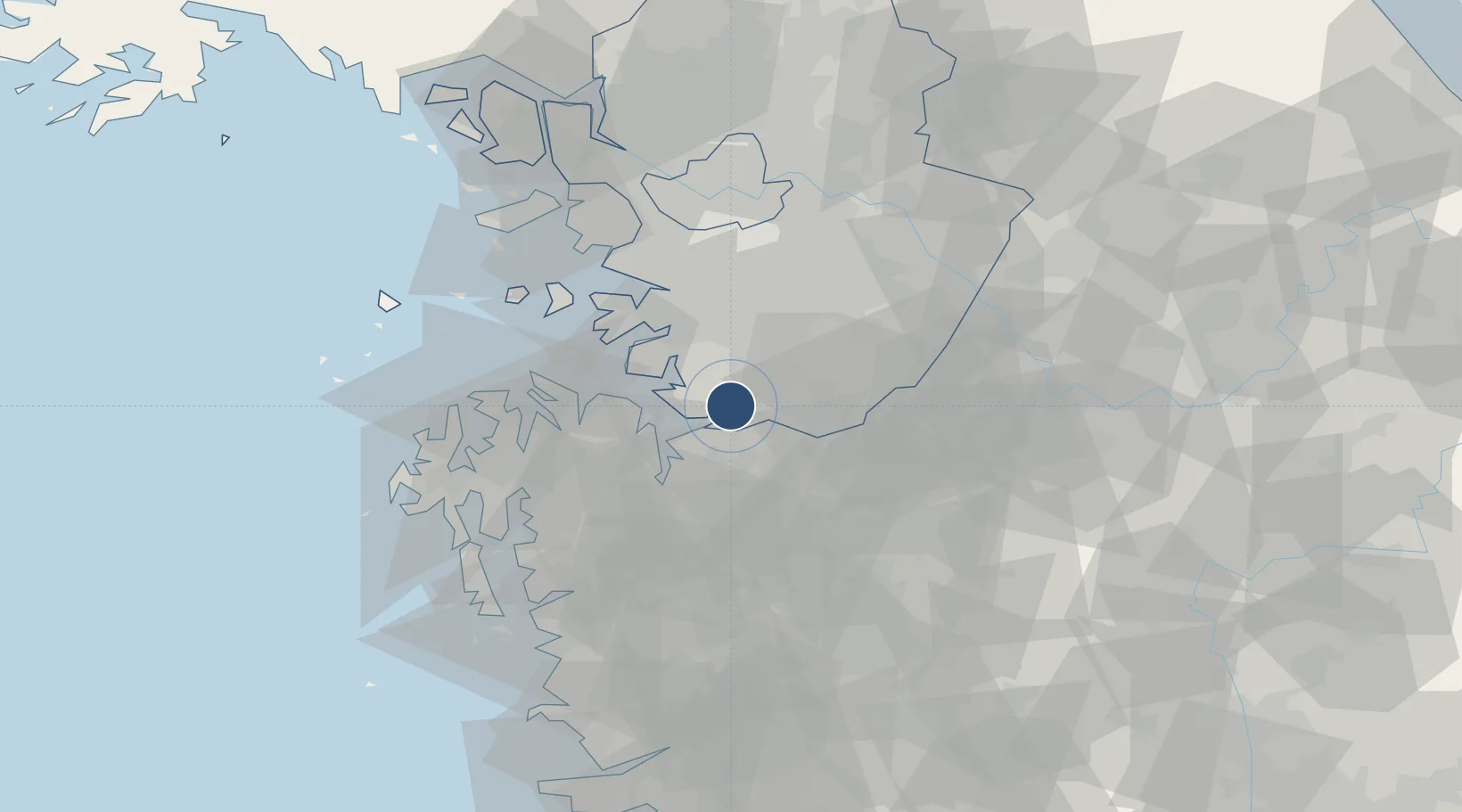
36.9624°, 127.0311°
8,217 ft
Longest runway
1
Runways
51 ft
Elevation

Runway & Layout

Camp Humphreys (A-511) Desiderio Army Airfield runway & taxiway layout
Runway & taxiway layout — OpenStreetMap (ODbL) / OurAirports

Radio Frequencies

ATIS
108.2 MHz
TWR
34.95 MHz
DESIDERIO TWR
GND
119.5 MHz
DESIDERIO GND
A/D
127.9 MHz
OSAN APP/DEP
ACP
120 MHz
BRICKWALL
OPS
37.95 MHz
DESIDERIO OPS
PMSV
37.3 MHz
PMSV METRO
OurAirports

Navaids

PTK VOR-DME Pyeongtaek 108.20 MHz
RE NDB Pyeongtaek 381 kHz
OurAirports

Runways · 1

RunwayDimensions SurfaceTrue headingLit
14/32 8,217 × 150ft Asphalt 132°
OurAirports

Airport Specifications

ICAO code
RKSG
OurAirports
Airport class
Medium airport
OurAirports
Scheduled service
No
OurAirports
Runway surface
Asphalt
OurAirports
Served city
Pyeongtaek
OurAirports

Location

Location of RKSG
Natural Earth 10m (public domain) · Gyeonggi · RKSG · 36.96, 127.03GoogleOSMYandex

Nearby Logistics Neighbours

Airports
  1. 1Osan Air Base14 km
  2. 2Suwon Airport31 km
  3. 3Cheongju International Airport/Cheongju Air Base (K-59/G-513)50 km
  4. 4Seoul Air Base (K-16)54 km
  5. 5Gimpo International Airport70 km
Nearest neighbours — logibook spatial index (haversine) over the source coordinates
Cities
  1. 1Songtan12 km
  2. 2Pyeongtaek17 km
  3. 3Cheonan18 km
  4. 4Asan20 km
  5. 5Anseong21 km
Nearest neighbours — logibook spatial index (haversine) over the source coordinates
Ports
  1. 1Pyeongtaek Hang21 km
  2. 2Daesan Hang56 km
  3. 3Inchon67 km
  4. 4Kunsan115 km
  5. 5Haeju Hang165 km
Nearest neighbours — logibook spatial index (haversine) over the source coordinates
Trade Zones
  1. 1Chupal (GIC - includes 6.1ha FIZ)4 km
  2. 2Pyeongtaek General Industrial Complex7 km
  3. 3Songtan General Industrial Complex9 km
  4. 4Chilgoe General Industrial Complex10 km
  5. 5Hyeongok Foreign Investment Zone11 km
Nearest neighbours — logibook spatial index (haversine) over the source coordinates
DatabookThe Record of Consolidated Knowledge
South Korea beyond logistics?
Browse databook

All Sources

AirportsOurAirports
Public domain
Portsthe NGA World Port Index
Public domain (US gov)
LocationsUN/LOCODE
UN/LOCODE — free
Trade Zonesthe World Bank SEZ database
CC BY 4.0
Trade ZonesOpen Zone Map
CC BY
InfrastructureOpenStreetMap
ODbL 1.0
← South Korea airports