Transport Functions
Rail
Road
Hub Profile
Place type
Populated place
Region
Chungcheongnam-do
Time zone
Asia/Seoul
Elevation
27 m
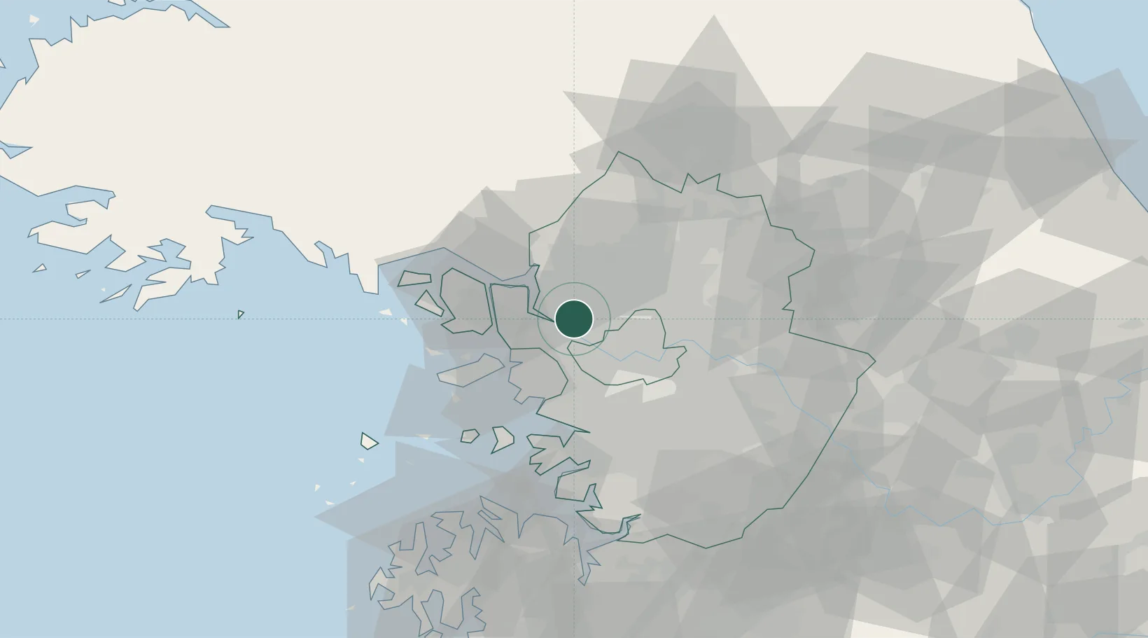
Location
Nearby Logistics Neighbours
Cities
- 1Ilsan-dong6 km
- 2Dorasan/Paju12 km
- 3Paju12 km
- 4Gimpo12 km
- 5Bucheon18 km
Ports
- 1Inchon27 km
- 2Pyeongtaek Hang72 km
- 3Daesan Hang80 km
- 4Haeju Hang106 km
- 5Kyomip'o160 km
Airports
- 1Gimpo International Airport10 km
- 2Seoul Air Base (K-16)35 km
- 3Incheon International Airport38 km
- 4Suwon Airport49 km
- 5Osan Air Base65 km
DatabookThe Record of Consolidated Knowledge
South Korea beyond logistics?