Small airport · United States
Kivalina AirportPAVL
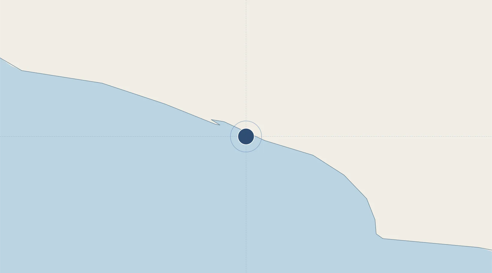
67.7346°, -164.5599°
3,000 ft
Longest runway
1
Runways
13 ft
Elevation
Runway & Layout

Radio Frequencies
ASOS
135.8 MHz
CTAF
122.8 MHz
CTAF/UNICOM
A/D
119.2 MHz
ANCHORAGE CNTR
FSS
122.55 MHz
KOTZEBUE RDO
Runways · 1
| Runway | Dimensions | Surface | True heading | Lit |
|---|---|---|---|---|
| 12/30 | 3,000 × 60ft | Gravel | 137° | ✓ |
Airport Specifications
IATA code
KVL
ICAO code
PAVL
Airport class
Small airport
Scheduled service
Yes
Runway surface
Gravel
Served city
Kivalina
Location
Nearby Logistics Neighbours
Airports
- 1Noatak Airport70 km
- 2Point Hope Airport116 km
- 3Ralph Wien Memorial Airport127 km
- 4Cape Lisburne LRRS Airport142 km
- 5Shishmaref Airport178 km
Cities
- 1Uelen288 km
- 2Sledge Island369 km
- 3Lavrentiya371 km
- 4Vankarem475 km
- 5Point Barrow499 km
Ports
- 1Kotzebue124 km
- 2Shishmaref178 km
- 3Deering200 km
- 4Solomon354 km
- 5Nome362 km
Trade Zones
- 1FTZ No. 195 Fairbanks816 km
- 2FTZ No. 160 Anchorage1003 km
- 3FTZ No. 108 Valdez1133 km
- 4FTZ No. 232 Kodiak1266 km
- 5PrInce George Logistics Park2658 km
DatabookThe Record of Consolidated Knowledge
United States beyond logistics?