Seaplane base · United States
Elfin Cove Seaplane BasePAEL
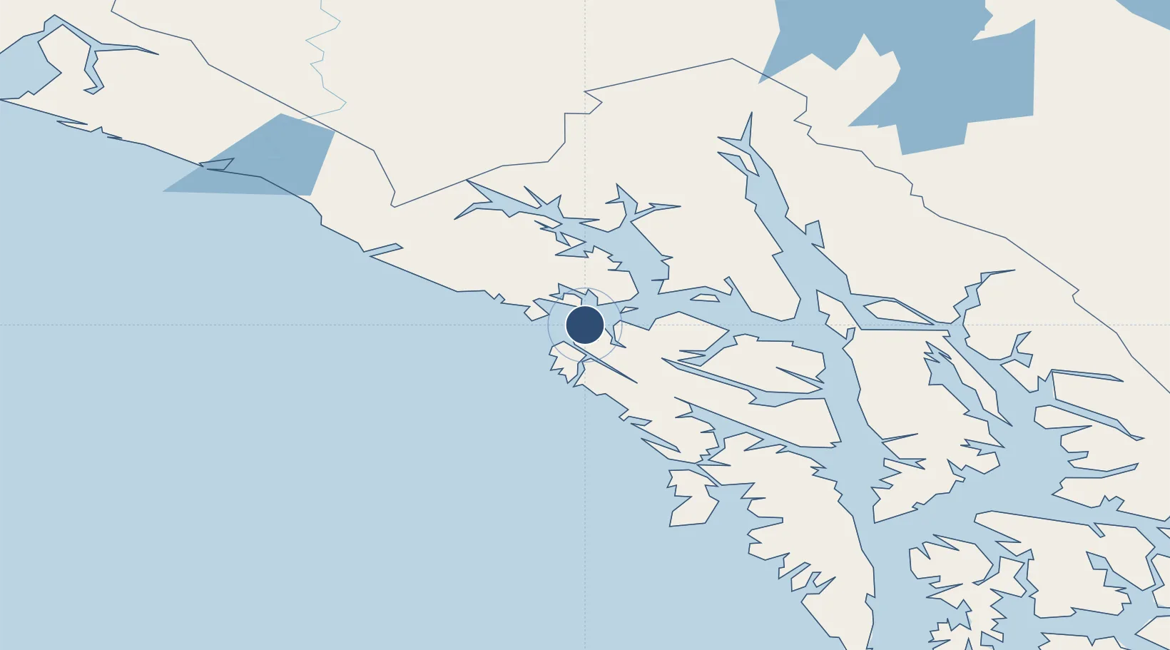
58.1952°, -136.3470°
10,000 ft
Longest runway
1
Runways
0 ft
Elevation
Runway & Layout
Runways · 1
| Runway | Dimensions | Surface | True heading | Lit |
|---|---|---|---|---|
| NW/SE | 10,000 × 1500ft | WATER-E | — | — |
Airport Specifications
IATA code
ELV
ICAO code
PAEL
Airport class
Seaplane base
Scheduled service
Yes
Runway surface
WATER-E
Served city
Elfin Cove
Location
Nearby Logistics Neighbours
Airports
- 1Pelican Seaplane Base28 km
- 2Gustavus Airport45 km
- 3Hoonah Airport56 km
- 4Excursion Inlet Seaplane Base58 km
- 5Tenakee Seaplane Base81 km
Cities
- 1Pleasant Island45 km
- 2Juneau112 km
- 3Tyee166 km
- 4Neets Bay393 km
- 5Ward Cove420 km
Ports
- 1Elfin Cove1 km
- 2Pelican26 km
- 3Hoonah53 km
- 4Excursion Inlet58 km
- 5Tenakee Springs82 km
Trade Zones
- 1FTZ No. 108 Valdez649 km
- 2FTZ No. 160 Anchorage829 km
- 3FTZ No. 195 Fairbanks951 km
- 4PrInce George Logistics Park967 km
- 5FTZ Vancouver Island1318 km
DatabookThe Record of Consolidated Knowledge
United States beyond logistics?