Medium airport · United States
Ambler AirportPAFM
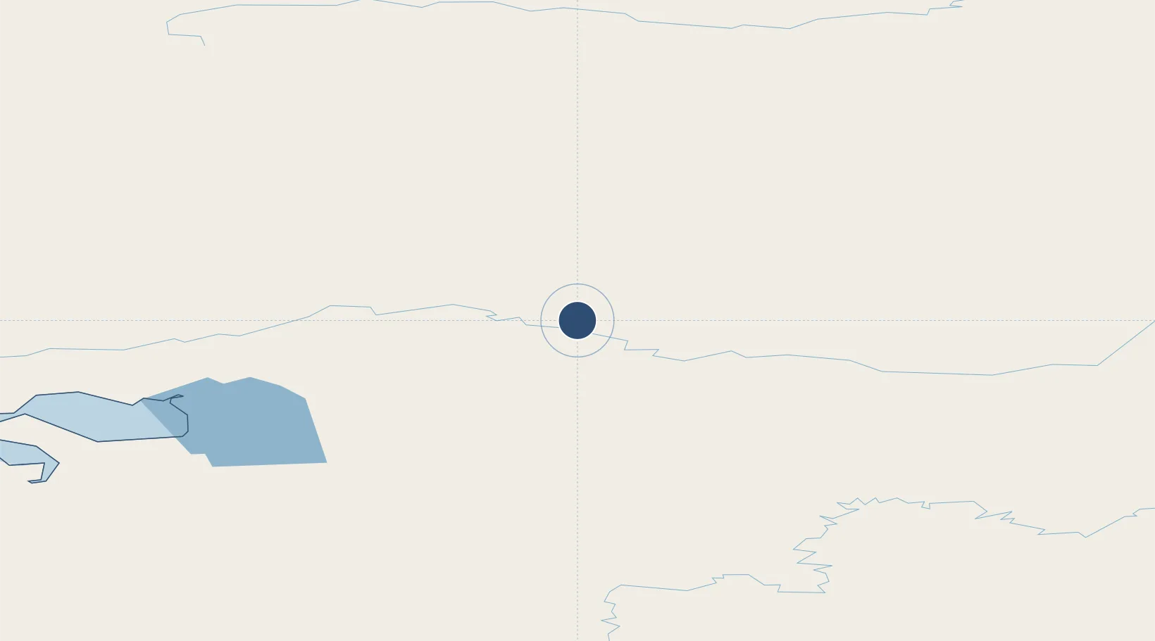
67.1055°, -157.8553°
4,000 ft
Longest runway
2
Runways
334 ft
Elevation
Runway & Layout

Radio Frequencies
AWOS
132.1 MHz
AWOS 3
CTAF
122.7 MHz
CNTR
119.2 MHz
ANCHORAGE CNTR
FSS
122 MHz
KOTEZBUE RDO
MISC
40.3 MHz
TWEB
Navaids
AMF NDB-DME Ambler 0.40 MHz
Runways · 2
| Runway | Dimensions | Surface | True heading | Lit |
|---|---|---|---|---|
| 01/19 | 4,000 × 75ft | Gravel | 023° | ✓ |
| 10/28 | 2,400 × 60ft | Gravel | 112° | ✓ |
Airport Specifications
IATA code
ABL
ICAO code
PAFM
Airport class
Medium airport
Scheduled service
Yes
Runway surface
Gravel
Served city
Ambler
Location
Nearby Logistics Neighbours
Airports
- 1Shungnak Airport39 km
- 2Kobuk Airport47 km
- 3Selawik Airport109 km
- 4Bob Baker Memorial Airport113 km
- 5Robert (Bob) Curtis Memorial Airport141 km
Cities
- 1Point Barrow467 km
- 2Sledge Island479 km
- 3Uelen537 km
- 4Susitna713 km
- 5Houston720 km
Ports
- 1Kotzebue206 km
- 2Deering244 km
- 3Unalakleet383 km
- 4Wainwright403 km
- 5Solomon411 km
Trade Zones
- 1FTZ No. 195 Fairbanks523 km
- 2FTZ No. 160 Anchorage757 km
- 3FTZ No. 108 Valdez865 km
- 4FTZ No. 232 Kodiak1092 km
- 5PrInce George Logistics Park2364 km
DatabookThe Record of Consolidated Knowledge
United States beyond logistics?